What is recorded here
Indicated is a fairy fort in County Mayo, Ireland, where the earth still holds the shape of a ring. People may have lived inside that circle before forgetting the name, leaving only a ridge visible through grass and rain. The fort does not need permission to exist, but it waits for someone willing to walk its edge and listen for the missing voice.
The Archaeological Survey of Ireland (ASI) is in the process of providing information on all monuments on The Historic Environment Viewer (HEV). Currently the information for this record has not been uploaded. To access available information for research purposes please make an appointment in advance with the Archive Unit (open Fridays 10.00 am – 5.00 pm), Department of Housing, Local Government and Heritage, The Custom House, Dublin 1 D01W6XO or email NMarchive@housing.gov.ie.
The monument record does not grant public access. Check the route and ask the landowner before entering private land.
- What survives
- Recorded monument
Places near here
 RathgraniaFairy fort / earthen ringfort · 1073 yd
 Cloonmeen FortFairy fort / earthen ringfort · 1121 yd
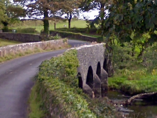 Ballintober Bridgebridge · 1.1 mi
 bridgebridge · 1.1 mi
 Carn Castle (in Ruins)Castle, unclassified · 1.2 mi
 Rathroe CastleCastle · 2.3 mi
 Battle of Killalabattle · 5.4 mi
 Green IslandIslet · 5.8 mi
 Grave of the KingsArchaeological place · 6.0 mi
 Lisheen Grave YardArchaeological place · 6.1 mi
 Rinnaun PointHeadland · 6.4 mi
 Castle IslandIslet · 6.5 mi