What is recorded here
The Columban monastery (ME017-044012-) is within a subcircular ecclesiastical enclosure (dims c. 350m E-W; c. 280m N-S), now fossilised in the curving street system outlined in part by Carrick, Castle, Cross, and Farrell Streets, the Fair Green at the W, and the line of the medieval town wall on the S and SW. There may have been an inner enclosure (dims c. 150m E-W; c. 80m N-S) around the graveyard, now marked by Church Hill on the N side and Canon St. on the S and extending as far as Church St. in the E (Simms and Simms 1990, 1-2, fig. 1). Support for this inner enclosure could be provided by medieval deposits in two ditches on a WNW-ESE line at the junction of Church St and Canon St. The W ditch (Wth 3.8m plus; D 0.8m plus) is separated by a deposit of subsoil (Wth of top 1.5m) from an E ditch (Wth of top c. 4m; max. D c. 1m), both of which produced a local Kells type pottery 13-14th century and tile fragments with evidence of smithing in both (P 5, 6). This was discovered in testing (10E0405) the length of Church St on the line of a water-main (Walsh and Bailey 2013; Walsh et al. 2017). It is possible that this enclosure was an ancient and abandoned Royal pagan site before it enclosed the monastery. (Swan 1998)
Compiled by: Michael Moore
Date of revised upload: 16 April, 2019
The monument record does not grant public access. Check the route and ask the landowner before entering private land.
- What survives
- Recorded monument
Places near here
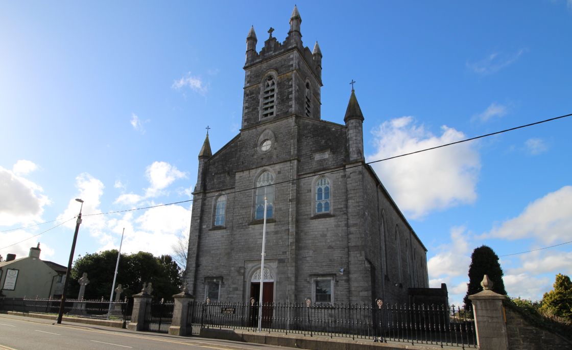 Font (present location) in Town Parks (kells Upper By.)Font (present location) · 19 yd
 Kells High Crosses and Round TowerMemorial · 35 yd
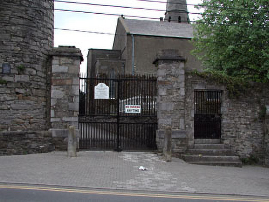 Saint Columba's Church (Kells)gates/railings/walls · 41 yd
 Round TowerRound tower · 43 yd
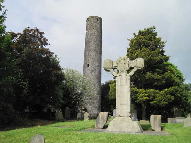 Kells Round TowerMemorial · 46 yd
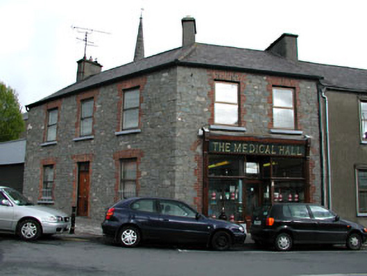 The Medical Hallhouse · 63 yd
 CastleCastle, unclassified · 209 yd
 Lady's Well WoodForest · 1216 yd
 Long WoodWood · 1230 yd
 Castle ruinsCastle · 1.5 mi
 MountainpoleMountain / peak · 1.9 mi
 BalreaskMountain / peak · 2.5 mi