What is recorded here
Early 20th-century lime kiln built parallel to and S of laneway. Partially collapsed random-rubble sandstone walls retain earthen core. Front elevation (H 3.18m; Wth 4.5m) faces E; arched recess (H 1.52m; Wth 1.75m; D 1.9m) has lower inner arch, sloping slabs at rear. Funnel (diam. 1.2m) infilled almost to top. Ramp (L 16m) to rear.
The above description is derived from the published 'Archaeological Inventory of County Cork. Volume 4: North Cork' (Dublin: Stationery Office, 2000). In certain instances the entries have been revised and updated in the light of recent research.
Date of upload/revision: 14 January 2009
The monument record does not grant public access. Check the route and ask the landowner before entering private land.
- What survives
- Recorded monument
Places near here
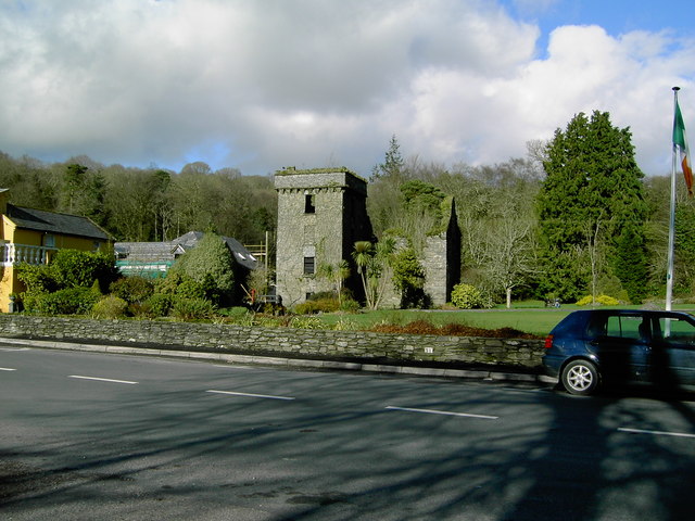 Fulacht fia in Doonasleen SouthFulacht fia · 894 yd
 Fulacht fia in TooreenclassaghFulacht fia · 1057 yd
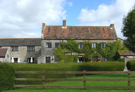 KilnKiln, lime · 1.1 mi
 Kiskeam Bridgebridge · 1.9 mi
 Nohaval WoodWood · 3.8 mi
 Doctor's HillMountain / peak · 5.5 mi
 Barna BogForest · 5.9 mi
 Dromsicane Castle (in Ruins)Bawn · 6.6 mi
 Castle McAuliffe (Site of)Castle, unclassified · 7.6 mi
 Millstreet Museum & Tourist Information CentreMuseum · 7.8 mi
 Claragh MountainMountain / peak · 7.8 mi
 Wildlife of the UplandsVisitor information · 8.1 mi