What is recorded here
Built parallel to and on NE side of laneway. Front wall (H 2.3m; Wth 5.66m) faces SE, of roughly coursed-stone, retains earthen core. Arched recess (H 1.5m; Wth 1.9m; D c. 1.1m) with lower inner arch, tall lintelled ope in back wall. Part of earthen core collapsed into recess. Remains of circular stone-lined funnel, partially infilled. Ramp to NW.
The above description is derived from the published 'Archaeological Inventory of County Cork. Volume 4: North Cork' (Dublin: Stationery Office, 2000). In certain instances the entries have been revised and updated in the light of recent research.
Date of upload/revision: 14 January 2009
The monument record does not grant public access. Check the route and ask the landowner before entering private land.
- What survives
- Recorded monument
Places near here
 Fulacht fia in TooreenclassaghFulacht fia · 872 yd
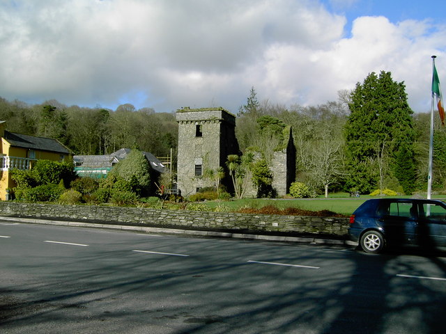 Fulacht fia in Doonasleen SouthFulacht fia · 1112 yd
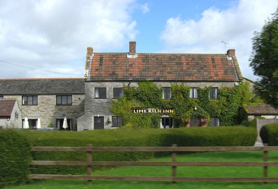 KilnKiln, lime · 1741 yd
 Kiskeam Bridgebridge · 1.9 mi
 Nohaval WoodWood · 3.8 mi
 Doctor's HillMountain / peak · 5.4 mi
 Barna BogForest · 5.8 mi
 Dromsicane Castle (in Ruins)Bawn · 6.7 mi
 Castle McAuliffe (Site of)Castle, unclassified · 7.7 mi
 Millstreet Museum & Tourist Information CentreMuseum · 7.9 mi
 Claragh MountainMountain / peak · 7.9 mi
 Wildlife of the UplandsVisitor information · 8.2 mi