
What is recorded here
On a shelf of the S-facing slope of a drumlin. Circular overgrown area with mature deciduous trees within a coniferous forest (diam. c. 70m) defined by a grass-covered stone spread (Wth 3-4m; int. H 0.4-0.6m; ext. H 0.8m). There is no recognisable entrance. Rath (RO017-093----) is c. 30m to the NW.
Compiled by: Michael Moore
Date of upload: 24 August 2010
The monument record does not grant public access. Check the route and ask the landowner before entering private land.
- What survives
- Recorded monument
Places near here
 Enclosure in Dooneen (roscommon By.)Enclosure · 990 yd
 Mullinashee WoodForest · 1.1 mi
 PoundFairy fort / stone ringfort · 1.1 mi
 Church in Clooncraff (roscommon By.)Church · 1.1 mi
 Maguire's WoodForest · 1.1 mi
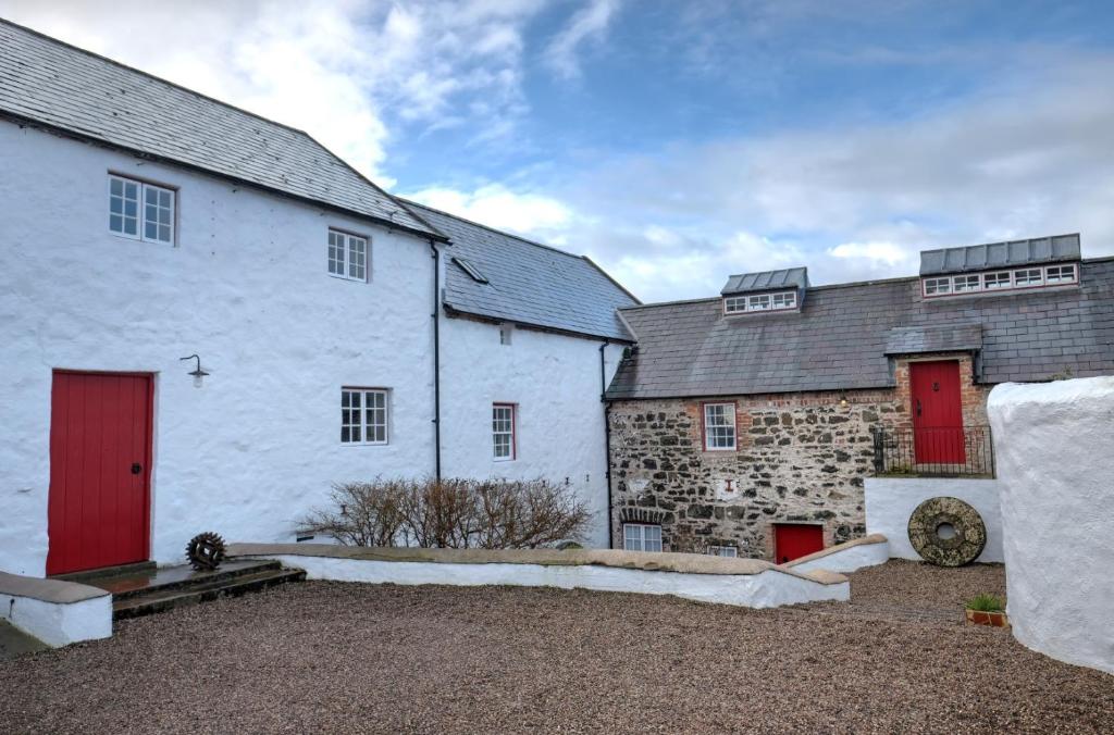 Old Corn KilnKiln, corn-drying · 1.4 mi
 Site of Dangan CastleCastle, unclassified · 2.4 mi
 Garrymond IslandIslet · 2.4 mi
 Hat IslandIslet · 2.5 mi
 CastleCastle, unclassified · 4.4 mi
 Patrick Gill Memorial Plaque (IRA)Monument · 4.8 mi
 Robert Strawbridge MemorialMemorial · 4.8 mi
Other information
Photo: Credit not shown in the picture search · Rights wording not checked; contact us if this picture should be removed