What is recorded here
Located on a low rise in an area of undulating terrain, with extensive views to NW across an expanse of lowlying pasture. A small stream valley is located 270m to S.
Roughly circular platform (37.8m N−S; 42.6m E−W) defined by a bank/scarp. The bank/scarp is modified to serve as a field fence for much of the circuit: at NE−S it consists of an earth and stone bank (Wth 2.9m; int. H 0.9m; ext. 1.7m, at E), at S−W a scarp (Wth 1m) topped with a post and wire fence, and at W−N the scarp has been cut to the vertical (H 2.2m at NNW, 1m at N).
The interior is flat, grassy and featureless; the perimeter is ringed with hawthorn and ash trees. The garden of a modern house lies a few meters N of the rath.
There is a rath (MA071-111----) 220m to NE.
Compiled by: Jane O’Shaughnessy
Date of upload: 19 August 2021
The monument record does not grant public access. Check the route and ask the landowner before entering private land.
- What survives
- Recorded monument
Places near here
 IndicatedFairy fort / earthen ringfort · 539 yd
 bridgebridge · 597 yd
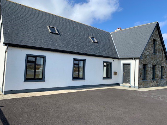 Enclosure in LissanumeraEnclosure · 1261 yd
 Thorn CaveCave · 1621 yd
 Lislackagh National Schoolschool · 1.2 mi
 Brabazon WoodsForest · 2.6 mi
 Youth Memorial GardenMemorial · 2.6 mi
 Procession Of The SoulsMemorial · 2.9 mi
 Castle in ruinsCastle, tower house · 3.9 mi
 Kiltimagh MuseumMuseum · 4.3 mi
 HawthornHawthorn · 4.3 mi
 Castle (in Ruins)Castle, unclassified · 4.5 mi