What is recorded here
In an area of gently undulating grassland, located adjacent to the S boundary of the townland.
A circular embanked enclosure (diam. c. 25m) is shown on the 1838 OS 6-inch map; it is shown on the 1920 edition as a subcircular enclosure (c. 30m NW−SE; c. 25-30m NE−SW) outlined by a solid line, with a trackway skirting it at S leading to two vernacular buildings located immediately E of the enclosure.
The enclosure has been destroyed; there is no visible trace. A house and garden now overlie the location. According to local information, it was enclosed by an earth and stone bank
Compiled by: Jane O'Shaughnessy
Date of upload: 7 July 2020
This remains an important historical record, but the official description says the monument is no longer visible or has been destroyed. The monument record does not grant public access. Check the route and ask the landowner before entering private land.
- What survives
- No visible remains or recorded as destroyed
Places near here
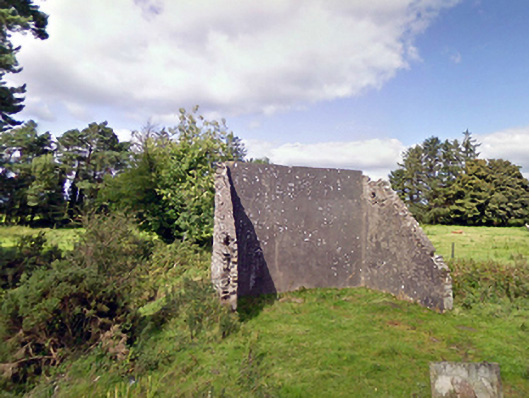 handball alleyhandball alley · 1274 yd
 Enclosure in Lavy MoreEnclosure · 1.2 mi
 Cloonfane National Schoolschool · 1.2 mi
 IndicatedFairy fort / earthen ringfort · 1.6 mi
 Old Cave Burial GroundArchaeological place · 2.1 mi
 Bockagh HillMountain / peak · 5.6 mi
 Casatle (ruins)Castle, unclassified · 7.3 mi
 Crunaun Castle (in ruins)Castle, unclassified · 7.9 mi
 Procession Of The SoulsMemorial · 8.9 mi
 Brabazon WoodsForest · 8.9 mi
 East Mayo Brigade MonumentMemorial · 9.1 mi
 Lough Talt TrailVisitor information · 11 mi