What is recorded here
Marked on the 1837 and 1924-5 eds of the OS 6-inch map as at the centre of a cluster of buildings, but only described as 'Toberiheen' in italic lettering on the latter. It is situated at the bottom of an E-facing slope. This is a natural spring (diam. c. 3m) at the base of rock outcrop with a stream running off to the ENE. There were four natural basins or bullauns (RO054-018002-) (diam. c. 0.4m; D 0.2m) in rock outcrop a short distance to the S (Gannon 1972; Grenham 1983, 67) which do not survive in reclaimed pasture. Archaeological testing (E2822) during 2006 c. 100m to the SW in Ballydangan townland failed to produce any related material (Sutton 2009).
Compiled by: Michael Moore
Date of upload: 24 August 2010
The monument record does not grant public access. Check the route and ask the landowner before entering private land.
- What survives
- Recorded monument
Places near here
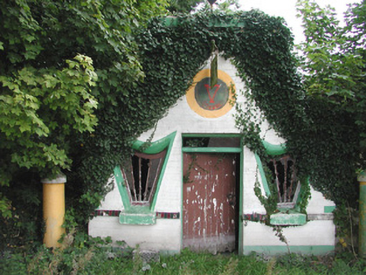 Millar's Harp Houseshop/retail outlet · 418 yd
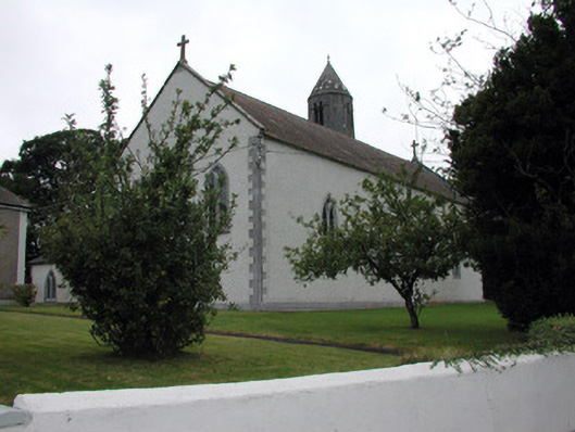 Saint Mary's Catholic Churchchurch/chapel · 1106 yd
 IndicatedFairy fort / stone ringfort · 1274 yd
 Liberty CastleCastle, unclassified · 1556 yd
 Embanked enclosureFairy fort / earthen ringfort · 1.1 mi
 Tully CastleArchaeological place · 1.2 mi
 Split HillMountain / peak · 3.3 mi
 Devenish IslandIsland · 3.7 mi
 HawthornHawthorn · 4.1 mi
 ClonmacnoiseMuseum · 4.3 mi
 Graveyard in ClonmacnoiseGraveyard · 4.3 mi
 Long IslandIsland · 4.4 mi