What is recorded here
In reclaimed pastureland. This is an oval grassed-over earthen mound (21m E-W; 14m N-S; H 1.8m), in fair condition, with some stone protruding through the soil cover. There is a natural well, enclosed by a drystone wall, in the W half of it. McCaffrey (1952, 19, 251, no. 135a) classified the mound as a 'Tumulus (?)'. Its antiquity is uncertain. It is shown on the 1838 edition of the OS 6-inch map as an unenclosed tree-ring. Possibly a landscape feature.
Compiled by: Galway Archaeological Survey, UCG
Date of upload: 14 November 2019
The monument record does not grant public access. Check the route and ask the landowner before entering private land.
- What survives
- Recorded monument
Places near here
 Field system in Ballybaun (dunkellin By.)Field system · 245 yd
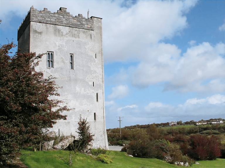 IndicatedFairy fort / stone ringfort · 256 yd
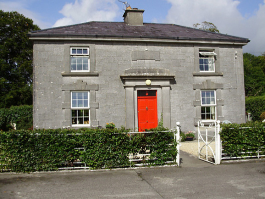 Castle Taylorsteward's house · 1422 yd
 Cloghroak Castle (in ruins)Castle, tower house · 1581 yd
 Cregaclarefarmyard complex · 1.1 mi
 Castle (in ruins)Castle, Anglo-Norman masonry castle · 1.6 mi
 Drumharsna CastleHeritage attraction · 3.4 mi
 HawthornHawthorn · 4.3 mi
 European ashEuropean ash · 4.3 mi
 Mulroney's IslandIslet · 7.0 mi
 Mweenish PointHeadland · 8.0 mi
 Traught BeachBeach / strand · 8.5 mi