What is recorded here
Described in the Civil Survey of 1654-6 as 'an Eele Weare out of repaire' (Simington 1931, vol. 1, 69). A stone weir traverses the River Suir to the N of Loughmoe castle (TN035-030005) as depicted on current edition of the OS 6-inch map.
Compiled by: Caimin O'Brien.
Date of upload: 22 September 2008
The monument record does not grant public access. Check the route and ask the landowner before entering private land.
- What survives
- Recorded monument
Places near here
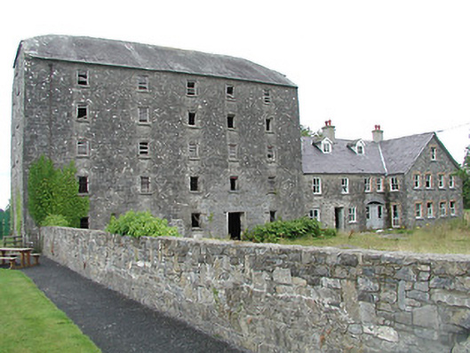 mill (water)mill (water) · 90 yd
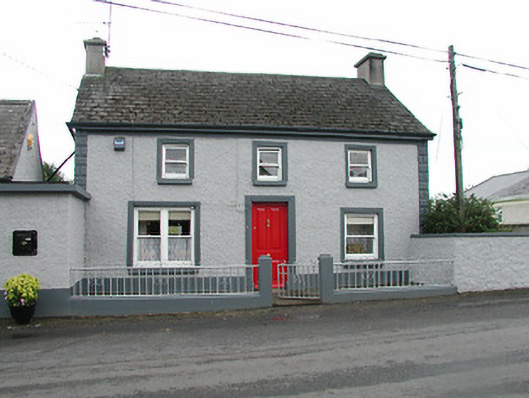 barracksbarracks · 192 yd
 Loughmoe CourtHouse, fortified house · 316 yd
 CastleCastle, ringwork · 601 yd
 Enclosure in TinvoherEnclosure · 1154 yd
 Enclosure in Curraghmore (loughmoe East Par.)Enclosure · 1743 yd
 Morris's GroveForest · 2.5 mi
 Kilvilcorris BogForest · 3.3 mi
 College HillMountain / peak · 4.9 mi
 Tullow HillMountain / peak · 5.6 mi
 Cormackstown Heritage CentreMuseum · 6.8 mi
 Church (in Ruins), Grave Yd.Church · 446 yd