What is recorded here
Indicated is the medieval watercourse running from Kimmage crossroads to the Tongue, where the Poddle joins it halfway before they separate again. The Down Survey called it the water that supplieth Dublin, acknowledging the city’s dependence on this narrow flow. It is easy to imagine residents drawing cups from its edge or watching rain swell its banks, while the stream carried life and waste through the growing town.
Named 'City Watercourse' on the 1837 OS 6-inch map. It is shown on the Down Survey (1655-6) maps as the 'water that supplieth Dublin'. This section of the medieval watercourse runs from Kimmage crossroads to the 'Tongue' at Kimmage. Half way along the watercourse is joined by a stream called the Poddle and they flow as one stream for a short distance, the waters separating at the Tongue (Joyce 1912, 452-453; Berry 1891, 557-73).
Compiled by Geraldine Stout
The monument record does not grant public access. Check the route and ask the landowner before entering private land.
- What survives
- Recorded monument
Places near here
 Mountdown Mills (Disused)Mill, unclassified · 2 yd
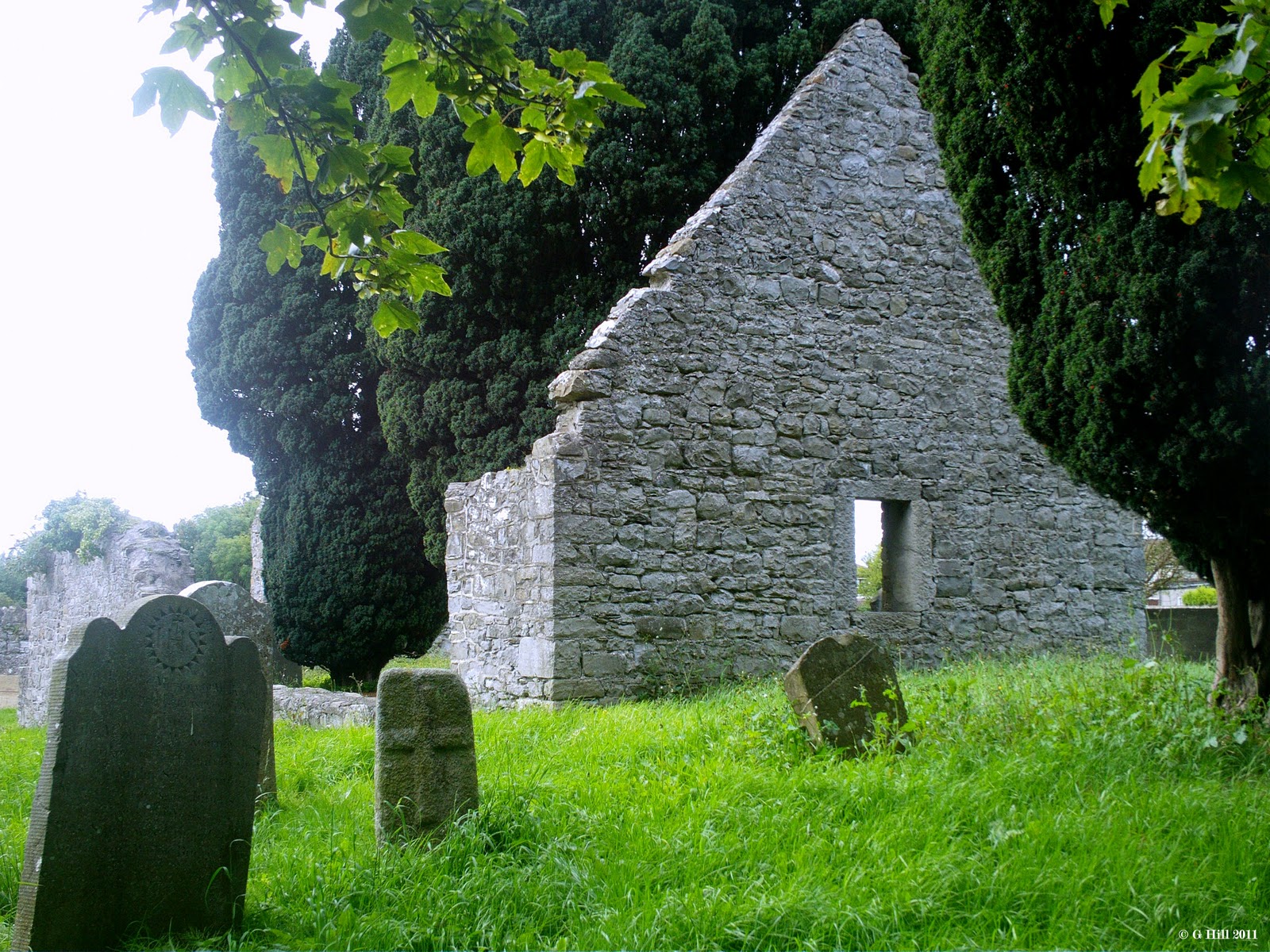 CastleCastle, tower house · 551 yd
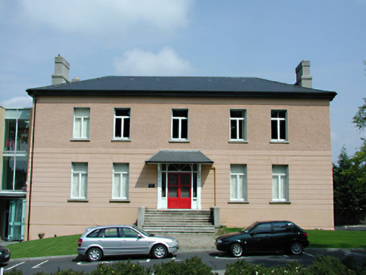 Templeogue Housecountry house · 570 yd
 IndicatedWell · 920 yd
 Austin Clarke BridgeMemorial · 949 yd
 PACT WoodlandWood · 959 yd
 Tymon Park Red SlíWalking route · 976 yd
 Fitwalk CircuitWalking route · 1037 yd
 Shanahan House - CSSpMemorial · 1318 yd
 Tymon CastleCastle, tower house · 1377 yd
 Mayor's Mile (Finsish)Visitor information · 1589 yd
 Enclosure in ButterfieldEnclosure · 1634 yd