
What is recorded here
In pasture, just below the summit of a ridge, on a S-facing slope. A roughly oval area (30.7m N-S; 26.4m E-W) enclosed by a roughly coursed drystone wall. From NE-S the wall (T 2.5m; int. H 1.5m; ext. H 1.4m) is least modified. Elsewhere sections of it have been breached, modified or rebuilt or obscured by accumulations of field-clearance stones. At NW stones have been piled on top of the wall and a slump of loose stones has spilled into the interior, possibly a mixture of wall collapse and field-clearance stones. A section of wall (L c. 5m) at N has been breached and partially rebuilt. A field boundary extends N from the cashel wall immediately E of this breach while immediately E of the field boundary another section of the wall (L 11m) has been rebuilt and expanded into the interior to form a D-shaped structure. Immediately E of this structure is a narrow break (Wth 1.05m) in the cashel wall. A further blocked-up gap (Wth 1.8m) is evident at SSW. The interior slopes down to SSE from the fairly level N third, levelling out again in the S third. There is a Man-made underground passage (SL046-032002-) in the W half of the interior. Immediately outside the wall at S is a sod-covered stony rise (6m N-S; c. 10m E-W) defined by a low uneven scarp (H 0.5m). Stones and boulders protrude from the edge of this platform, some of which may be bedrock. A narrower (Wth 2-3m; H 0.3m) continuation of this rise is evident S-SW immediately outside the cashel wall.
The above description is derived from the published 'Archaeological Inventory of County Sligo' compiled by Ursula Egan, Elizabeth Byrne, Mary Sleeman with Sheila Ronan and Connie Murphy (Dublin Stationery Office, 2005).
Date of upload: 18 January 2008
The monument record does not grant public access. Check the route and ask the landowner before entering private land.
- What survives
- Recorded monument
Places near here
 IndicatedFairy fort / stone ringfort · 296 yd
 Enclosure in TawnymucklaghEnclosure · 352 yd
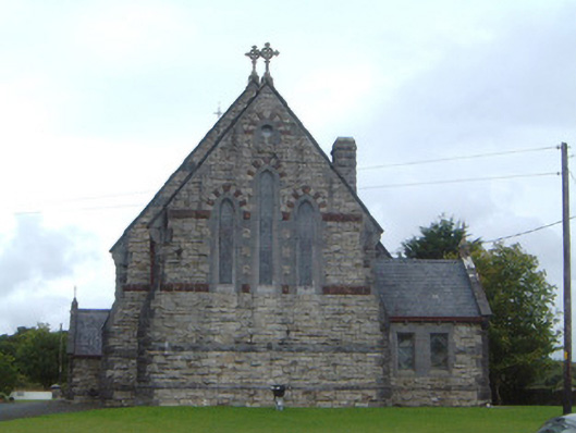 Saint Aidan's Catholic Churchchurch/chapel · 654 yd
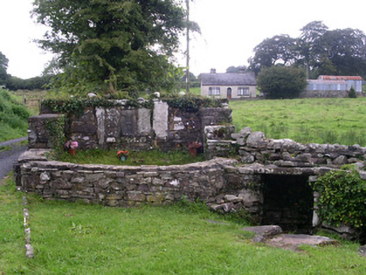 Saint Attracta's Wellholy well · 1578 yd
 Crow IslandIslet · 1.9 mi
 Castle PointHeadland · 2.0 mi
 Castle (in Ruins)Castle, unclassified · 2.1 mi
 Rose PointHeadland · 2.1 mi
 Moygara CastleCastle · 2.1 mi
 Inch IslandIslet · 2.2 mi
 Bockagh HillMountain / peak · 4.9 mi
 Square WoodForest · 5.0 mi
Other information
Photo: Credit not shown in the picture search · Rights wording not checked; contact us if this picture should be removed