What is recorded here
Located adjacent to the townland boundary in the SW of Swineford townland. The location lies within the grass-covered grounds of a convent, immediately to W of St. Mary’s R. C. church, at the SW edge of Swinford town.
A circular embanked enclosure (diam. c. 40m), possibly a rath, is shown on 1837 OS 6-inch map; it is not shown on later map editions. There is no trace at ground level. The N part of the enclosure may underlie a walled burial plot for the nuns, which includes a slightly raised circular walled feature (diam. 15m) shown on the 1919 OS 6-inch map.
Compiled by: Jane O'Shaughnessy
Date of upload: 17 October 2018
This remains an important historical record, but the official description says the monument is no longer visible or has been destroyed. The monument record does not grant public access. Check the route and ask the landowner before entering private land.
- What survives
- No visible remains or recorded as destroyed
Places near here
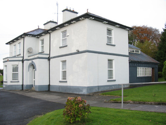 Catholic Church of Our Lady Help of Christianspresbytery/parochial/curate's house · 52 yd
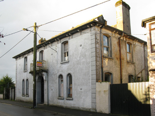 Swinford Town Halltown/county hall · 235 yd
 IndicatedFairy fort / earthen ringfort · 293 yd
 Youth Memorial GardenMemorial · 294 yd
 Enclosure in NewparkEnclosure · 659 yd
 Brabazon WoodsForest · 694 yd
 Procession Of The SoulsMemorial · 814 yd
 HawthornHawthorn · 2.3 mi
 Castle (in Ruins)Castle, unclassified · 2.6 mi
 Hennigan's Heritage CentreHeritage attraction · 2.6 mi
 Thorn CaveCave · 3.3 mi
 Kiltimagh MuseumMuseum · 6.6 mi