
What is recorded here
Indicated is a lost circular enclosure on a Mayo hill, large enough for a small town and gone enough to defy photography. It may have been a ringfort, a boundary marker, or a mistake born of surveying pride. The land keeps its shape in absence, waiting for someone stubborn enough to walk the invisible line.
In pasture, atop hill. Shown on OS map (1931) as circular enclosure (est. max. diam. c. 38m). No visible surface traces. Possibly a ringfort.
The above description has been derived from D. Lavelle (compiler), An Archaeological Survey of Ballinrobe and District including Lough Mask and Lough Carra. Lough Mask and Lough Carra Tourist Development Association (1994), No. 486.
Date of upload: 4 February 2013
The monument record does not grant public access. Check the route and ask the landowner before entering private land.
- What survives
- Recorded monument
Places near here
 IndicatedEnclosure · 175 yd
 Enclosure in Summerhill NorthEnclosure · 784 yd
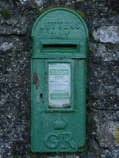 post boxpost box · 1580 yd
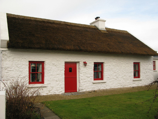 farm housefarm house · 1590 yd
 Bawn in BellanaloobBawn · 1.3 mi
 Ahena CastleCastle · 2.8 mi
 Creevagh IslandIslet · 3.6 mi
 Moore Hall Forest TrailWalking route · 3.6 mi
 Connors IslandIslet · 3.7 mi
 Moore Hall ForestForest · 3.8 mi
 Kiltoom PointHeadland · 3.9 mi
 Cerberus, from Thomastown HouseMemorial · 4.3 mi
Other information
Photo: Credit not shown in the picture search · Rights wording not checked; contact us if this picture should be removed