What is recorded here
In pasture, located on elevated ground, which provides good views SW−NW.
Shown on the 1838 6-inch map and on the later 25-inch plan as an oval enclosure (diam. 20 E-W; c. 25m N-S); not shown on the 1931 OS 6-inch map. This enclosure has been levelled and there are no visible remains at ground level.
Compiled by: Jane O'Shaughnessy
Date of upload: 20 March 2018
This remains an important historical record, but the official description says the monument is no longer visible or has been destroyed. The monument record does not grant public access. Check the route and ask the landowner before entering private land.
- What survives
- No visible remains or recorded as destroyed
Places near here
 IndicatedFairy fort / earthen ringfort · 363 yd
 Enclosure in Summerhill NorthEnclosure · 952 yd
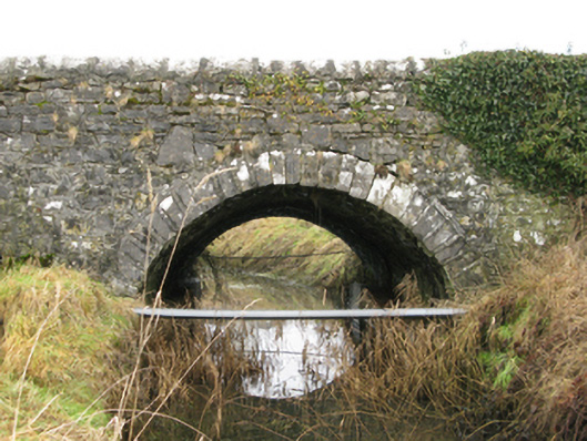 Ballyglass Bridgebridge · 1381 yd
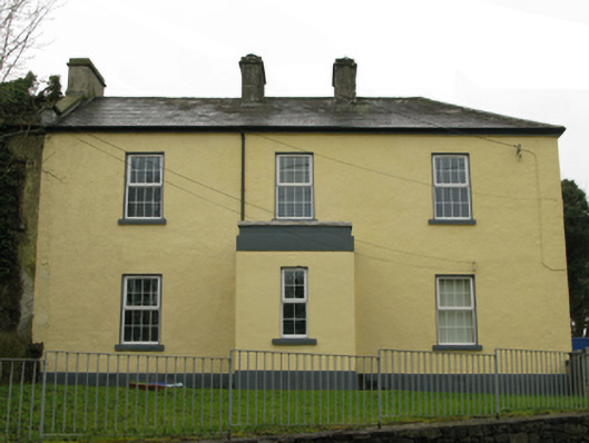 Ballyglass Garda Síochána Stationgarda station/constabulary barracks · 1464 yd
 Bawn in BellanaloobBawn · 1648 yd
 Castle (in Ruins)Castle, unclassified · 2.0 mi
 Creevagh IslandIslet · 3.2 mi
 Moore Hall Forest TrailWalking route · 3.2 mi
 Connors IslandIslet · 3.2 mi
 Moore Hall ForestForest · 3.4 mi
 Kiltoom PointHeadland · 3.5 mi
 Cerberus, from Thomastown HouseMemorial · 4.1 mi