What is recorded here
Indicated is a buried fairy fort at the NE end of a low Mayo ridge, its thirty-six-metre circle still marked by a steep scarp, a narrow fosse and a wide outer bank of earth and stone. Grass and forgotten time have smoothed much of it, yet the shape resists being lost. People may have lived there before becoming legend, or the fairies may have taken the house and kept the bones of the wall. Either way the ridge still holds an address, waiting to be read.
In pasture at the NE end of a low ridge. A heavily overgrown, raised, roughly circular area (surface diam. c. 36m) is defined by a scarp (H 2.4m at NE-3.8m at NW); a fosse (Wth 2m at base) which is only traceable along the NE and SE and by a substantial outer enclosing bank of earth and stone (Wth 7-10m; int. H 0.2m; ext. H 0.7-1.5m) which survives from NE to ENE and from SE to SSE.
Date of visit: 12-5-2025
Compiled by: Gearóid Conroy
The monument record does not grant public access. Check the route and ask the landowner before entering private land.
- What survives
- Recorded monument
Places near here
 IndicatedFairy fort / earthen ringfort · 759 yd
 Wall monument in StradeWall monument · 911 yd
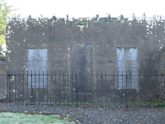 mausoleummausoleum · 924 yd
 Michael DavittMemorial · 1006 yd
 LismoreFairy fort / earthen ringfort · 1667 yd
 Ballylahan Castle in RuinsCastle, Anglo-Norman masonry castle · 1.4 mi
 Castle in ruinsCastle, tower house · 1.7 mi
 Oak WoodWood · 3.9 mi
 National Museum of Ireland, Country LifeMuseum · 4.2 mi
 Sunken GardenWood · 4.3 mi
 Admiral William BrownMemorial · 4.6 mi
 Foxford Woollen MillsHeritage attraction · 4.6 mi