
What is recorded here
Indicated is a fairy fort on a low Mayo knoll beside the Strade River, preserving a broad earthen ring and western entrance gap. Cattle still move through the pasture above its buried margins, while thistles and whitethorn hold the ancient shape against forgetting. The fort does not need a grand name; it is large enough, marked enough and old enough to be remembered.
On a low knoll (occupying the 100’ contour) in pasture, c. 200m E of the N-flowing Strade River. A raised subcircular area (surface diams. 36m N–S; 32m E–W) is defined by a substantial scarp (H 1.5m at N-2.3m at WNW) with a possible entrance gap (Wth 2m) at W. An outer enclosing fosse (Wth 1.5–2m; D 0.4m) is traceable from NW–N-NE. The fosse is not evident from NE–ESE but its line is traceable as a wide berm (Wth 4–5m; H 1m) between SE and SW and again at WNW. The interior contains a large oval-shaped hollow (L 12m NW–SE; Wth 4m; D 1m) in the W sector but is otherwise generally level and thistle-covered with some whitethorn trees growing along the perimeter, especially along the S. The lower courses (H 0.1m; T 1.5m) of a later field wall (shown on the 1837 first ed. of the OS 6-inch map) run (L c. 20m) across the N interior from the W.
Date of visit: 12-5-2025
Compiled by: Gearóid Conroy
The monument record does not grant public access. Check the route and ask the landowner before entering private land.
- What survives
- Recorded monument
Places near here
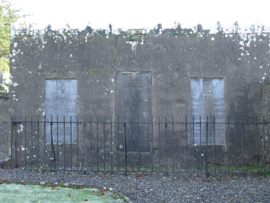 mausoleummausoleum · 278 yd
 Wall monument in StradeWall monument · 280 yd
 Michael DavittMemorial · 350 yd
 LismoreFairy fort / earthen ringfort · 1.2 mi
 Ballylahan Castle in RuinsCastle, Anglo-Norman masonry castle · 1.4 mi
 Castle (in Ruins)Castle, motte · 2.0 mi
 Enclosure in Toormore EastEnclosure · 2.0 mi
 Oak WoodWood · 3.8 mi
 National Museum of Ireland, Country LifeMuseum · 4.1 mi
 Sunken GardenWood · 4.2 mi
 Admiral William BrownMemorial · 4.4 mi
 Foxford Woollen MillsHeritage attraction · 4.4 mi
Other information
Photo: Credit not shown in the picture search · Rights wording not checked; contact us if this picture should be removed