
What is recorded here
On a low knoll (occupying the 100’ contour) in pasture, c. 200m E of the N-flowing Strade River. A raised subcircular area (surface diams. 36m N–S; 32m E–W) is defined by a substantial scarp (H 1.5m at N-2.3m at WNW) with a possible entrance gap (Wth 2m) at W. An outer enclosing fosse (Wth 1.5–2m; D 0.4m) is traceable from NW–N-NE. The fosse is not evident from NE–ESE but its line is traceable as a wide berm (Wth 4–5m; H 1m) between SE and SW and again at WNW. The interior contains a large oval-shaped hollow (L 12m NW–SE; Wth 4m; D 1m) in the W sector but is otherwise generally level and thistle-covered with some whitethorn trees growing along the perimeter, especially along the S. The lower courses (H 0.1m; T 1.5m) of a later field wall (shown on the 1837 first ed. of the OS 6-inch map) run (L c. 20m) across the N interior from the W.
Date of visit: 12-5-2025
Compiled by: Gearóid Conroy
The monument record does not grant public access. Check the route and ask the landowner before entering private land.
- What survives
- Recorded monument
Places near here
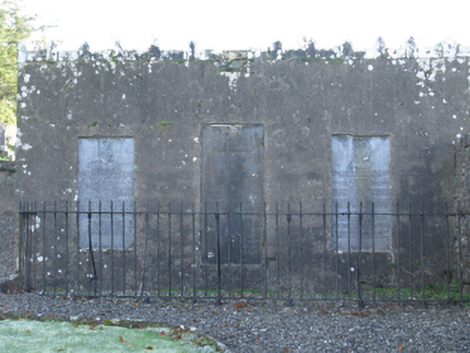 mausoleummausoleum · 278 yd
 Wall monument in StradeWall monument · 280 yd
 Michael DavittMemorial · 350 yd
 LismoreFairy fort / earthen ringfort · 1.2 mi
 Ballylahan Castle in RuinsCastle, Anglo-Norman masonry castle · 1.4 mi
 Castle (in Ruins)Castle, motte · 2.0 mi
 Enclosure in Toormore EastEnclosure · 2.0 mi
 Oak WoodWood · 3.8 mi
 National Museum of Ireland, Country LifeMuseum · 4.1 mi
 Sunken GardenWood · 4.2 mi
 Admiral William BrownMemorial · 4.4 mi
 Foxford Woollen MillsHeritage attraction · 4.4 mi
Other information
Photo: Credit not shown in the picture search · Rights wording not checked; contact us if this picture should be removed