
What is recorded here
In pasture, located 200m SW of the Owenlobnaglaur river, in an area of mixed grassland and bog.
Roughly circular area (diam. c. 25m NE−SW) defined by a stone bank/wall (Wth 2-2.4m; int. H 0.5m; ext. H 0.8m at SE). Dense overgrowth hampered inspection of the stone bank. It is evident in parts as a jumble of stones and boulders; at W it consists of a stony scarp (ext. H c. 0.8m). The rath is bisected centrally by a field wall on a NE−SW axis, and another wall on a N−S axis abuts it at NNW. Dense cover of hawthorn, elder, brambles and nettles, with stones and boulders scattered across the interior.
Compiled by: Jane O'Shaughnessy
Date of upload: 6 July 2020
A local fairy fort (ringfort/rath); wider significance not recorded.
The monument record does not grant public access. Check the route and ask the landowner before entering private land.
- What survives
- Recorded monument
Places near here
 Old Cave Burial GroundArchaeological place · 969 yd
 Man-made underground passage in Calveagh LowerMan-made underground passage · 1.4 mi
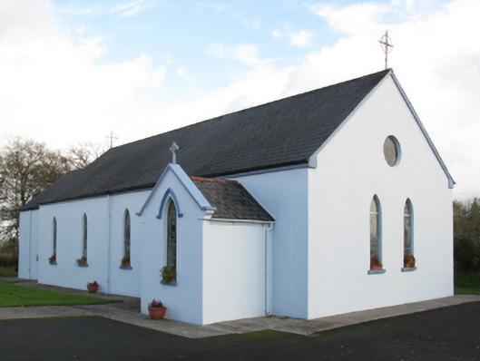 Saint Joseph's Catholic Church, Rooskychurch/chapel · 1.6 mi
 house, BARROE [COST. BY.]house · 1.6 mi
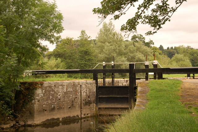 Embanked enclosure, Calveagh UpperFairy fort / stone ringfort · 1.7 mi
 Musicans of DoocastleMemorial · 3.4 mi
 Bockagh HillMountain / peak · 4.3 mi
 Castle, unclassified in Leitrim SouthCastle, unclassified · 4.9 mi
 Crow IslandIslet · 9.7 mi
 Castle PointHeadland · 10 mi
 Rose PointHeadland · 10 mi
 East Mayo Brigade MonumentMemorial · 11 mi
Other information
Photo: Credit not shown in the picture search · Rights wording not checked; contact us if this picture should be removed