What is recorded here
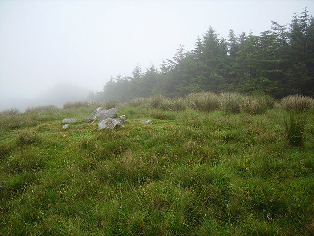
In pasture, atop hillock. Circular area (42.5m N-S; 40m E-W) enclosed by earthen bank (H 2.15m) WSW-NE, with large stones atop bank N->NE; position of bank defined by large slabs at intervals NE->SE; stone bank (Wth 1.5m) SE->SSW. Entrance (Wth 1.6m) to SSE, defined by upright slab on each side. Interior overgrown with deciduous trees; Man-made underground passage (CO133-052---) in side entrance.
The above description is derived from the published 'Archaeological Inventory of County Cork. Volume 1: West Cork' (Dublin: Stationery Office, 1992). In certain instances the entries have been revised and updated in the light of recent research.
Date of upload/revision: 14 January 2009
The monument record does not grant public access. Check the route and ask the landowner before entering private land.
- What survives
- Recorded monument
Places near here
 Man-made underground passage in SparrogradaMan-made underground passage · 1 yd
 Bawnknockane Burial GdGraveyard · 759 yd
 KnockaphukeenMountain / peak · 1026 yd
 farm housefarm house · 1564 yd
 Coolagh Cottagehouse · 1.7 mi
 Danno O’Mahony statueMemorial · 1.8 mi
 Ballydehob's 3-Arch Road BridgeVisitor information · 1.8 mi
 Ballydehob Railway StationVisitor information · 1.8 mi
 Derrylahard EastMountain / peak · 2.0 mi
 Barnageehy Loop WalkWalking route · 2.2 mi
 Kilcoe CastleCastle · 3.6 mi
 Mannin BegIslet · 3.6 mi