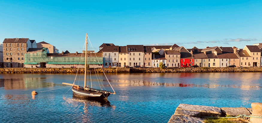
What is recorded here
Indicated is a vanished ringfort in County Galway, drawn as a circular wall on an 1838 map but erased from the grass by 1921. The land may have held a home, a boundary or a warning, yet the wall itself has gone quiet. What remains is a shape remembered by measurement, waiting for someone to walk the grass and ask it back.
In rough grazing land. Shown on the 1838 edition of the OS 6-inch map as a roughly circular hachured enclosure (c. 37m N-S; c. 34m E-W); on the 1921 edition it is defined by a wall. No visible surface trace survives. Possibly a ringfort.
Compiled by: Galway Archaeological Survey, UCG
Date of upload: 20 June 2019
The monument record does not grant public access. Check the route and ask the landowner before entering private land.
- What survives
- Recorded monument
Places near here
 Rahaly Castle (in ruins)Castle, tower house · 564 yd
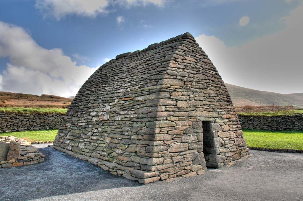 Enclosure in TulliraEnclosure · 914 yd
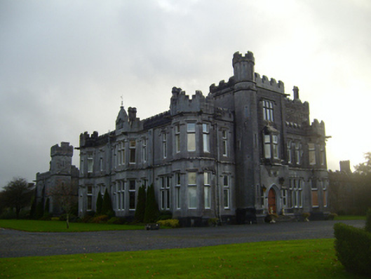 Tullira Castlecountry house · 1751 yd
 Enclosure in Bullaunagh (kiltartan By.)Enclosure · 1.3 mi
 gates/railings/wallsgates/railings/walls · 1.6 mi
 HawthornHawthorn · 1.9 mi
 European ashEuropean ash · 1.9 mi
 Ballylee CastleCastle, tower house · 1.9 mi
 Drumharsna CastleHeritage attraction · 3.3 mi
 KnockapollboyMountain / peak · 5.2 mi
 KnocknarebanaMountain / peak · 6.4 mi
 Kilmacduagh Monastic SiteVisitor information · 7.5 mi
Other information
Photo: Credit not shown in the picture search · Rights wording not checked; contact us if this picture should be removed