What is recorded here
Marked on the 1837 and 1914 eds of the OS 6-inch map, but named 'Cruckawn' only on the later map. Situated on the E-facing crest of a low N-S ridge, c. 150m from the River Shannon N-E. Circular overgrown earth and stone mound (diam. of base 14.5m; diam. of top 6.7-8m; H 0.8m at S to 1.8m at N) with traces of facing-stones at S and W. There is a conical stone-lined pit (diam. of top 2.3m; diam. of base 1.4m; D 1.2m) on the summit. Rath (RO018-004----) is c. 70m to the W.
Compiled by: Michael Moore
Date of upload: 24 August 2010
Neolithic passage tomb, dating to c. 3500–2500 BCE. Its location near the River Shannon suggests it may have been part of a broader ritual landscape associated with early farming communities in the region.
The monument record does not grant public access. Check the route and ask the landowner before entering private land.
- What survives
- Recorded monument
Places near here
 Tobermacleggan WellHoly well · 1716 yd
 FortsFairy fort / earthen ringfort · 1.0 mi
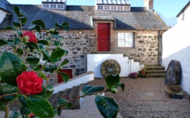 Old Corn KilnKiln, corn-drying · 1.0 mi
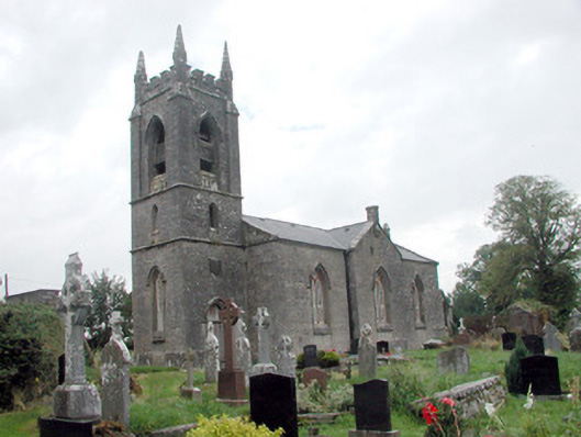 Kilmore Churchchurch/chapel · 1.1 mi
 InishmoylinIslet · 1.5 mi
 Coarse IslandForest · 1.7 mi
 Dockery's IslandIslet · 1.8 mi
 Site of Dangan CastleCastle, unclassified · 2.0 mi
 Tom Dunphy MemorialMemorial · 2.0 mi
 Wildlife AreaNature reserve · 2.4 mi
 Patrick Gill Memorial Plaque (IRA)Monument · 2.7 mi
 Cavan & Leitrim RailwayMuseum · 3.4 mi