What is recorded here
Located on the SE-facing slope of a NW-SE drumlin ridge with the NW-SE section of the Owengar River c. 75m to eh SW before it turns E towards Lough Allen. It is described as a 'fort' in gothic lettering on the 1835 edition of the OS 6-inch map. This is an oval grass-covered area (dims 21.5m NW-SE; 17m NE-SW) defined by a slight earthen bank (Wth 2.5m; int. H. 0.6m; ext. H. 1.2m) with an outer fosse or ditch best preserved at NW (Wth of top 2m). There perimeter is planted with trees and there is no identifiable original entrance.
The above description is derived from 'The Archaeological Inventory of County Leitrim' compiled by Michael J. Moore (Dublin: Stationery Office, 2003). In certain instances the entries have been revised and updated in the light of recent research.
Date of upload: 23 September 2008
The monument record does not grant public access. Check the route and ask the landowner before entering private land.
- What survives
- Recorded monument
Places near here
 Drumkeeran Church (Inishmagrath)church/chapel · 591 yd
 fprtFairy fort / earthen ringfort · 660 yd
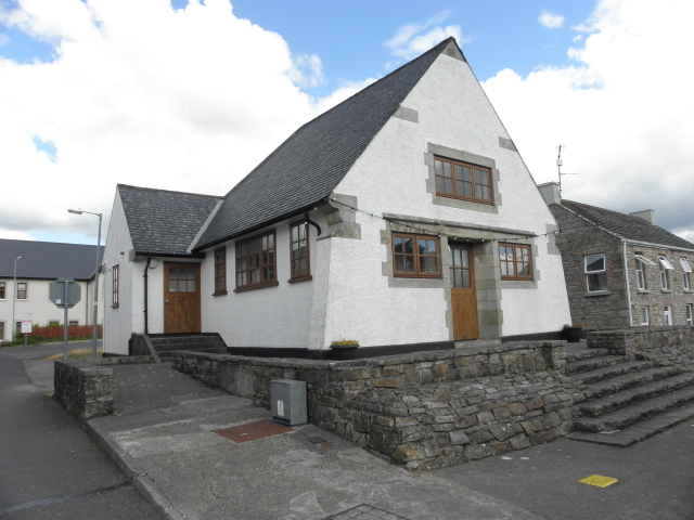 Drumkeeran Courthousecourt house · 930 yd
 Sweat Ho.Sweathouse · 1656 yd
 Drummans IslandIslet · 1.6 mi
 European ashEuropean ash · 2.0 mi
 Black PoplarBlack Poplar · 2.0 mi
 Corry IslandIslet · 2.3 mi
 Scardan WaterfallWaterfall · 2.4 mi
 Seltannasaggart SE SlopeMountain / peak · 2.6 mi
 Forde's CastleCastle · 2.9 mi
 Carrane HillCliff · 4.6 mi