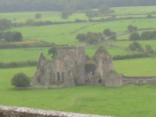
What is recorded here
Indicated is a lost fairy fort in County Kildare, reduced from a large oval bank and fosse to faint crop marks in modern farmland. It may have stood as a human home, a boundary marker or a children's story about the shape of the earth. The field has erased most of its proof, but the ratio of its parts still appears when drought or rain changes the colour of the soil.
In level tillage. Shown on the OS 25-inch map as a large raised oval area (est. diams. c. 50m NW-SE; c. 40m NE-SW) defined by a fosse and a substantial outer bank (est. ext. diams. c. 90m NW-SE; c. 70m NE-SW). Described in 1955 as a slightly raised oval platform with a deep wide fosse and a broad external bank, with a possible entrance causeway at the NW. (Danaher 1955, no. 622). No visible surface trace survived in 1972 (SMR file). Visible on a 1989 aerial photo (GB89.O.03) as the cropmarks of two concentric enclosing a sub-circular area. A curvilinear cropmark visible in the S sector of the interior may be a Man-made underground passage (KD035-025001-).
Compiled by: Gearóid Conroy
Date of upload: 13 December 2013
The monument record does not grant public access. Check the route and ask the landowner before entering private land.
- What survives
- Recorded monument
Places near here
 Shan RathArchaeological place · 9 yd
 Saint Michael's New Cemeterygraveyard/cemetery · 1310 yd
 Athy District Model National Schoolmodel school · 1403 yd
 Zoltan Zinn-Collis memorialMemorial · 1517 yd
 Athy War MemorialMemorial · 1538 yd
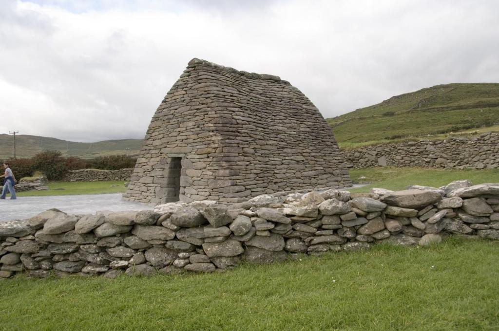 Enclosure in ArdreeEnclosure · 1604 yd
 Town HallMuseum · 1.1 mi
 Whites [sic] Castle, Police BarrackCastle, tower house · 1.2 mi
 CastleCastle, motte · 1.2 mi
 Scots PineScots Pine · 1.6 mi
 Inch WoodForest · 2.4 mi
 History of Moat of ArdscullVisitor information · 3.1 mi
Other information
Photo: Credit not shown in the picture search · Rights wording not checked; contact us if this picture should be removed