What is recorded here
Straddling the broad summit of a high rise. A roughly rectangular area (115m NW-SE; 71m NE-SW) defined by an earth and stone scarp (H 1.7m) on the SE and SW sides and by the remains of a bank topped by a drystone wall on the NW side. The NE side is defined by a steep natural slope. Traces of an external stone revetment are evident in places along the scarp on the SW side where three to four courses of limestone rubble-walling are evident. On the NW side three limestone slabs (H c. 1m; Wth c. 1.2m; T c. 0.03m) also indicate the remains of the revetment. The interior is undulating. The late medieval parish church of Shancough (SL035-052001-) lies roughly within the centre of the interior and is surrounded by a rectangular enclosure (SL035-052003-) which occupies most of the S half of the enclosure. There are two Man-made underground passages, one (SL035-052005-) in the NW quadrant and the other (SL035-052002-) in the NE quadrant. According to Gwynn and Hadcock (1970, 404), 'St. Patrick ordained Ailbe an archpresbyter in Senchua'.
The above description is derived from the published 'Archaeological Inventory of County Sligo' compiled by Ursula Egan, Elizabeth Byrne, Mary Sleeman with Sheila Ronan and Connie Murphy (Dublin Stationery Office, 2005).
Date of upload: 18 January 2008
The monument record does not grant public access. Check the route and ask the landowner before entering private land.
- What survives
- Recorded monument
Places near here
 Shancough Church (in Ruins)Church · 19 yd
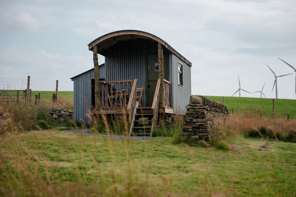 Hut site in Cabragh (leyny By.)Hut site · 416 yd
 LisheenFairy fort / earthen ringfort · 698 yd
 bridgebridge · 1269 yd
 Geevagh Prisoners 1908 MemorialMemorial · 1601 yd
 Barroe NorthMountain / peak · 1.4 mi
 Ballindoon Castle (in Ruins)Castle, unclassified · 2.3 mi
 CastleCastle, motte and bailey · 2.4 mi
 Loughbrick BayBay · 2.8 mi
 InishmoreIslet · 2.9 mi
 Carrane HillCliff · 3.0 mi
 Josie McDermott MemorialMemorial · 3.1 mi