What is recorded here
Indicated is a circular earthen ringfort in County Cork, measuring twenty-six metres across and still holding a low bank despite centuries of pasture traffic. Hartnett witnessed a dry stone wall riding the original rampart in 1939, proving the site resisted complete erasure long before modern inventory work arrived. The fort likely served as a boundary marker, refuge or residence for people whose names never reached the page. Its survival depends on ordinary visibility: a shape the eye can still trace in grass and stone.
In pasture. Circular area (diam. 26m) enclosed by low, eroded earthen bank, topped in parts by field clearance stones. Hartnett (1939, 105) recorded 'a dry stone wall on the original rampart'.
The above description is derived from the published 'Archaeological Inventory of County Cork. Volume 3: Mid Cork' (Dublin: Stationery Office, 1997). In certain instances the entries have been revised and updated in the light of recent research.
Date of upload/revision: 14 January 2009
The monument record does not grant public access. Check the route and ask the landowner before entering private land.
- What survives
- Recorded monument
Places near here
 IndicatedFairy fort / stone ringfort · 379 yd
 Hut site in Shanakill (muskerry East By.)Hut site · 404 yd
 Morriss BrBridge · 1221 yd
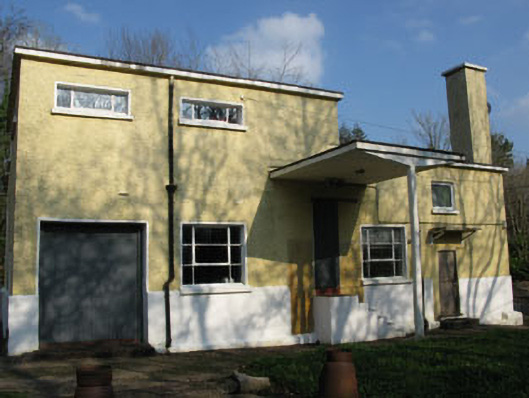 Rusheen Creamerycreamery · 1222 yd
 Black WoodWood · 1.2 mi
 Ummera WoodWood · 1.6 mi
 Clonavrick CliffCliff · 1.9 mi
 BurrenMountain / peak · 2.1 mi
 Battle of Macroombattle · 2.4 mi
 Macroom WalksVisitor information · 2.5 mi
 Macroom Castle (in Ruins)Castle, tower house · 2.5 mi
 Mashanaglass Castle (in Ruins)Castle, tower house · 3.1 mi