What is recorded here
Roadside (disused); on NE-facing slope. Overgrown front elev. (H c. 2m); pairof lintelled passages (H 0.6m; Wth 0.4m) at base leading into rectangular stone-lined funnel (2.73m x 1.78m) with rounded corners.
The above description is derived from the published 'Archaeological Inventory of County Cork. Volume 1: West Cork' (Dublin: Stationery Office, 1992). In certain instances the entries have been revised and updated in the light of recent research.
Date of upload/revision: 14 January 2009
The monument record does not grant public access. Check the route and ask the landowner before entering private land.
- What survives
- Recorded monument
Places near here
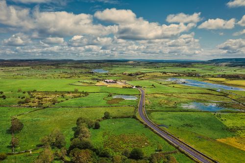 Fulacht fia in Shanacrane EastFulacht fia · 207 yd
 Hut site in Shanacrane EastHut site · 739 yd
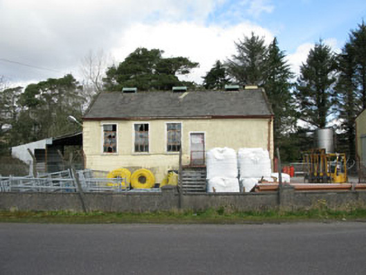 Togher Creamerycreamery · 1.4 mi
 Keenrath Bridgebridge · 1.4 mi
 Shehy MoreMountain / peak · 1.6 mi
 Togher CastleCastle, tower house · 1.7 mi
 Mount ProspectMountain / peak · 2.7 mi
 Gortnahoughtee Mass RockNamed rock · 2.8 mi
 Funmanway Adventure LandHeritage attraction · 4.1 mi
 Castle (Site of)Castle, Anglo-Norman masonry castle · 5.0 mi
 Dunmanway Heritage CentreVisitor information · 5.1 mi
 Graveyard in Dunmanway NorthGraveyard · 5.2 mi