
What is recorded here
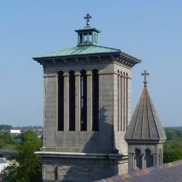
This is part of the church complex of the Crutched friars, which was dedicated to St John the Baptist. It is situated on the S bank of the River Boyne, between a WSW-ENE section of the river c. 25m to the N and a low ridge c. 120m to the S. This is probably one of the two towers recorded at the site in an extent at the Suppression in 1540 (White 1943, 299).
South of the entrance gateway in the W wall of the bawn is a tower house of three storeys (ext. dims 8.1m N-S; 7.55m E-W) that is vaulted over the ground floor. It is entered through a pointed doorway in a tower (ext. dims 2.8m E-W; 2.4m N-S) that projects N from the E end of the N wall. At the ground floor (int. dims 5.7m N-S; 5.1m E-W) there are windows in the N and W walls under a N-S barrel vault and inserted doorways in the centre of the E and S walls, probably obliterating earlier lights. A newel stairs in the NE tower leads through a lintelled doorway to the first floor that has windows on every wall except the S, now reduced to blank rectangles, and a fireplace at the N end of the W wall. There is a destroyed garderobe in a tower (ext. dims 2.2m E-W; 0.85m N-S) projecting S from the W end of the S wall, and there are corbels in the N and S walls to support the ceiling. A lintelled doorway from the stairs leads to the second floor that has windows in all walls except the W, which has a fireplace at its S end, and there is a lintelled doorway to the garderobe tower. The stairs continue to the battlements that are destroyed, apart from a rebuilt turret at the SW angle, and the housing over the stairs.
The above description is derived from the published 'Archaeological Inventory of County Meath' (Dublin: Stationery Office, 1987). In certain instances the entries have been revised and updated in the light of recent research.
Compiled by: Michael Moore
Date of upload/revision: 18 February 2015
The Saintjohns castle was built by the Crutched Friars, a religious order dedicated to St John the Baptist, likely in the 13th or 14th century. It is remembered as part of a significant monastic complex near the River Boyne, reflecting medieval religious and strategic land use in the region.
The monument record does not grant public access. Check the route and ask the landowner before entering private land.
- What survives
- Recorded monument
Places near here
 St. Johns FriaryReligious house, Fratres Cruciferi · 51 yd
 Church (in Ruins)Church · 219 yd
 CrossCross, High cross (present location) · 297 yd
 Newtown AbbeyCathedral · 303 yd
 CastleCastle, hall-house · 1532 yd
 Trim CastleCastle, Anglo-Norman masonry castle · 1533 yd
 Small-leaved ElmSmall-leaved Elm · 3.1 mi
 Wych ElmWych Elm · 3.2 mi
 MullaghMountain / peak · 8.7 mi
 Kilgar GardensHeritage attraction · 8.9 mi
 Larchil Arcadian GardensHeritage attraction · 9.1 mi
 Old Bog Road made famous by Teresa Bryton 1868-1943Memorial · 9.2 mi
Other information
Photo: Credit not shown in the picture search · Rights wording not checked; contact us if this picture should be removed