
What is recorded here
Indicated is a vanished fairy fort in County Galway, marked only by a shallow earth bank and iron slag before disappearing entirely. It appeared on maps as a circular tree line and tempted scholars into calling it a stone fort, yet no wall or trench remains for anyone to touch. The land may have worn the fort away or hidden it beneath grass, leaving behind a shape large enough to walk around but empty enough to doubt.
On a gentle rise in grassland, formerly part of Saintclerans Demesne. Indicated on the 1837 edition of the OS 6-inch map as an enclosed mixed tree plantation and on the 1933 edition as a subcircular line of deciduous trees (c. 60m N-S; c. 52m E-W). Classified by McCaffrey (1952, 171, no. 32a) as a circular ‘Stone fort’ (diam. c. 58m) which was defined by a 'flattened' bank of earth (Wth c. 3.6-4.2m; int. c. 1m; ext. H c. 0.6m). A large stone slab lying flat on its S side suggested to him hat it was a stone fort piled with earthen material. Some iron slag was found in the interior. No visible surface trace survives. Possibly a rath or a landscape feature.
Compiled by: Olive Alcock
Date of upload: 20 June 2019
The monument record does not grant public access. Check the route and ask the landowner before entering private land.
- What survives
- Recorded monument
Places near here
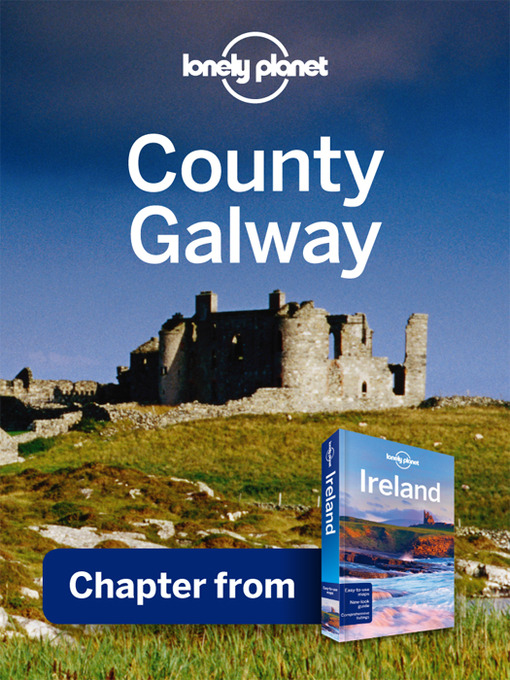 IndicatedFairy fort / stone ringfort · 241 yd
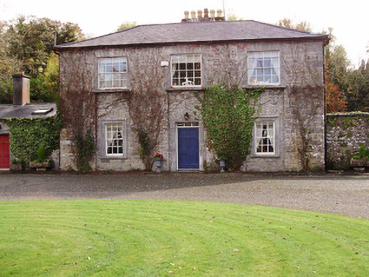 Saint Cleran'ssteward's house · 856 yd
 Dunsandlegate lodge · 1485 yd
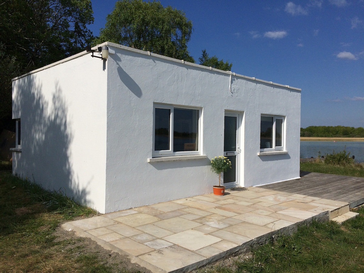 Enclosure in Carrowbaun (loughrea By.)Enclosure · 1756 yd
 Castle (in ruins)Castle, tower house · 1.0 mi
 Caher CastleCastle · 1.6 mi
 Moyard WoodWood · 3.0 mi
 Blake's IslandIslet · 3.9 mi
 Turoe StoneHeritage attraction · 4.2 mi
 Barrack IslandIslet · 4.2 mi
 Long PointHeadland · 5.0 mi
 Athenry AbbeyHeritage attraction · 5.8 mi
Other information
Photo: Credit not shown in the picture search · Rights wording not checked; contact us if this picture should be removed