What is recorded here
Indicated is a faded earthen ringfort in County Mayo, Ireland, where a low bank and tangled brambles still mark a circular platform beside a working farm. People may have lived, herded animals, or simply avoided the place because fairy forts demand respect. The earth remembers shape even when memory fades, and the field fences now cut through what once stood whole.
In a thicket of overgrowth immediately adjacent to a farmstead.
Raised circular area or platform (27.3m N−S) defined by an earthen bank (Wth 3.7m; int. H 0.4m; ext. H 1.6m, at NW). The bank is rather low and degraded on its internal slope.
The external slope of the bank at N merges with an E−W field fence. A N-S field fence, bordered by a track/road, clips the external face of the bank at W. There is a ramp-like gap (Wth 1.5m) in the bank at SE, and a broad, eroded gap (Wth c. 5m) at W.
The perimeter is ringed with sycamore and ash trees; there is a tangle of long grass, nettles and brambles in the interior. There is a possible moated site (MA051-003----) 80m to NW.
Compiled by: Jane O'Shaughnessy
Date of upload: 17 June 2020
The monument record does not grant public access. Check the route and ask the landowner before entering private land.
- What survives
- Recorded monument
Places near here
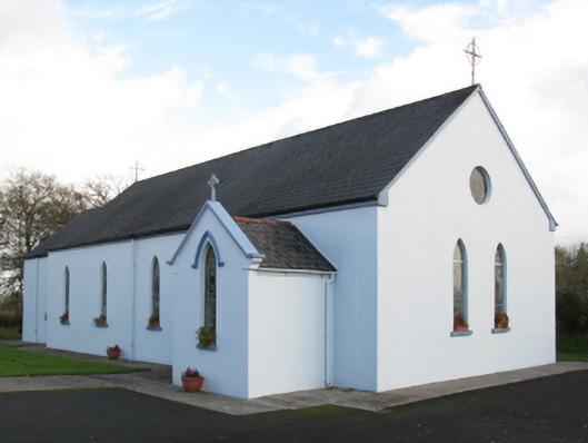 Saint Joseph's Catholic Churchchurch/chapel · 207 yd
 Old Cave Burial GroundArchaeological place · 1.2 mi
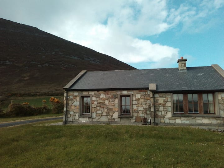 Doomore FortArchaeological place · 1.4 mi
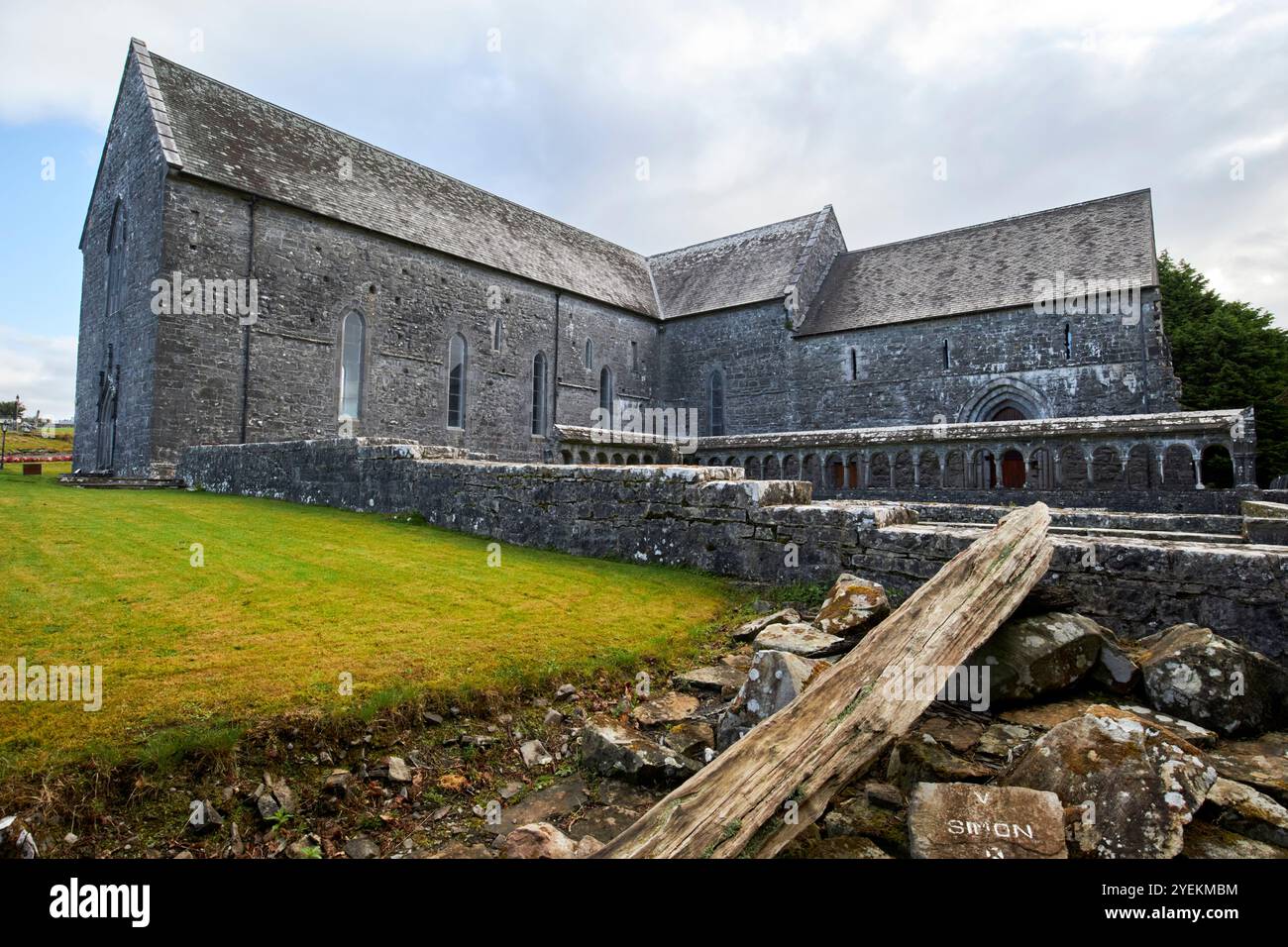 IndicatedFairy fort / earthen ringfort · 1.8 mi
 Musicans of DoocastleMemorial · 1.8 mi
 CastleCastle, unclassified · 3.5 mi
 Castle (in Ruins)Castle, tower house · 4.2 mi
 Tymon's HillMountain / peak · 4.5 mi
 Bockagh HillMountain / peak · 5.2 mi
 Crow IslandIslet · 9.6 mi
 Caves of KeshCave · 9.7 mi
 Castle PointHeadland · 10 mi