What is recorded here
Indicated was a quarter-century wide fairy fort at the east end of a Mayo farm field, visible on an 1838 map but erased from the landscape before 1930. Its earth bank may still sleep beneath the field fences, while local memory preserves an underground passage within the fort. The disappearance did not remove the place; it shifted the fort from sight into mystery, waiting for someone clever enough to stop trusting the empty ground.
At the E end of a rectangular field, bordered by a house and farmyard.
A circular embanked enclosure (diam. c. 25m) is shown on the 1838 OS 6-inch map; it is not shown on the 1930 edition. There is no visible trace at ground level. The field fences at N, E and S sides of the field may overlie the enclosure. According to local tradition, there was a 'fort' with a Man-made underground passage (MA111-036001-) here.
Compiled by: Jane O'Shaughnessy
Date of upload: 21 December 2022
This remains an important historical record, but the official description says the monument is no longer visible or has been destroyed. The monument record does not grant public access. Check the route and ask the landowner before entering private land.
- What survives
- No visible remains or recorded as destroyed
Places near here
 Enclosure in RobeenardEnclosure · 671 yd
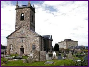 IndicatedFairy fort / earthen ringfort · 1014 yd
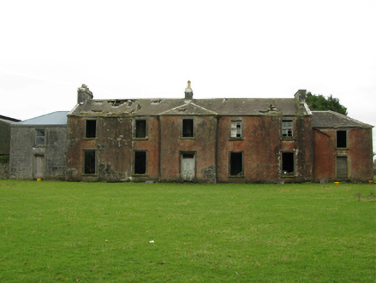 Kilrush Houseschool · 1074 yd
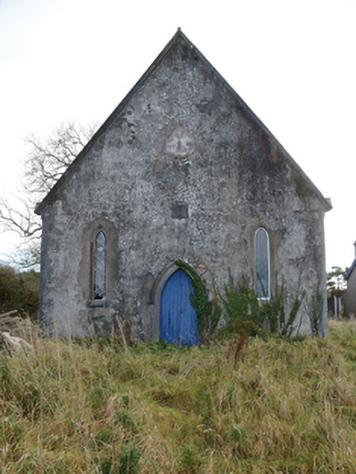 Hollymount Presbyterian Churchchurch/chapel · 1296 yd
 Castle (ruin)Castle, unclassified · 1.5 mi
 Bunacrower CastleCastle · 2.5 mi
 SycamoreSycamore · 2.6 mi
 Geoffrey's WoodForest · 4.7 mi
 Land of the GiantsHeritage attraction · 5.8 mi
 Creevagh IslandIslet · 5.8 mi
 Connors IslandIslet · 6.0 mi
 Quiet Man MuseumMuseum · 11 mi