What is recorded here
On Rindown peninsula c. 200m outside the town wall of Rindown (RO046-004004-). This is a rectangular grass-covered area (dims 84m NE-SW; 50m NW-SE) defined by masonry walls (T 0.6-0.8m; max. H 2m) which are not complete on any side. There are three bee-bowls (RO046-004-027-) in the centre of the NW wall visible as pointed niches (Wth 0.45m; H 0.55m; D 0.3m). St John's church (RO046-004005-), with which it may have been associated, is c. 30m to the S and St John's graveyard (RO046-004023-) is immediately to the SE.
Compiled by: Michael Moore
Date of upload: 24 August 2010
The monument record does not grant public access. Check the route and ask the landowner before entering private land.
- What survives
- Recorded monument
Places near here
 Church (in Ruins)Religious house, Fratres Cruciferi · 93 yd
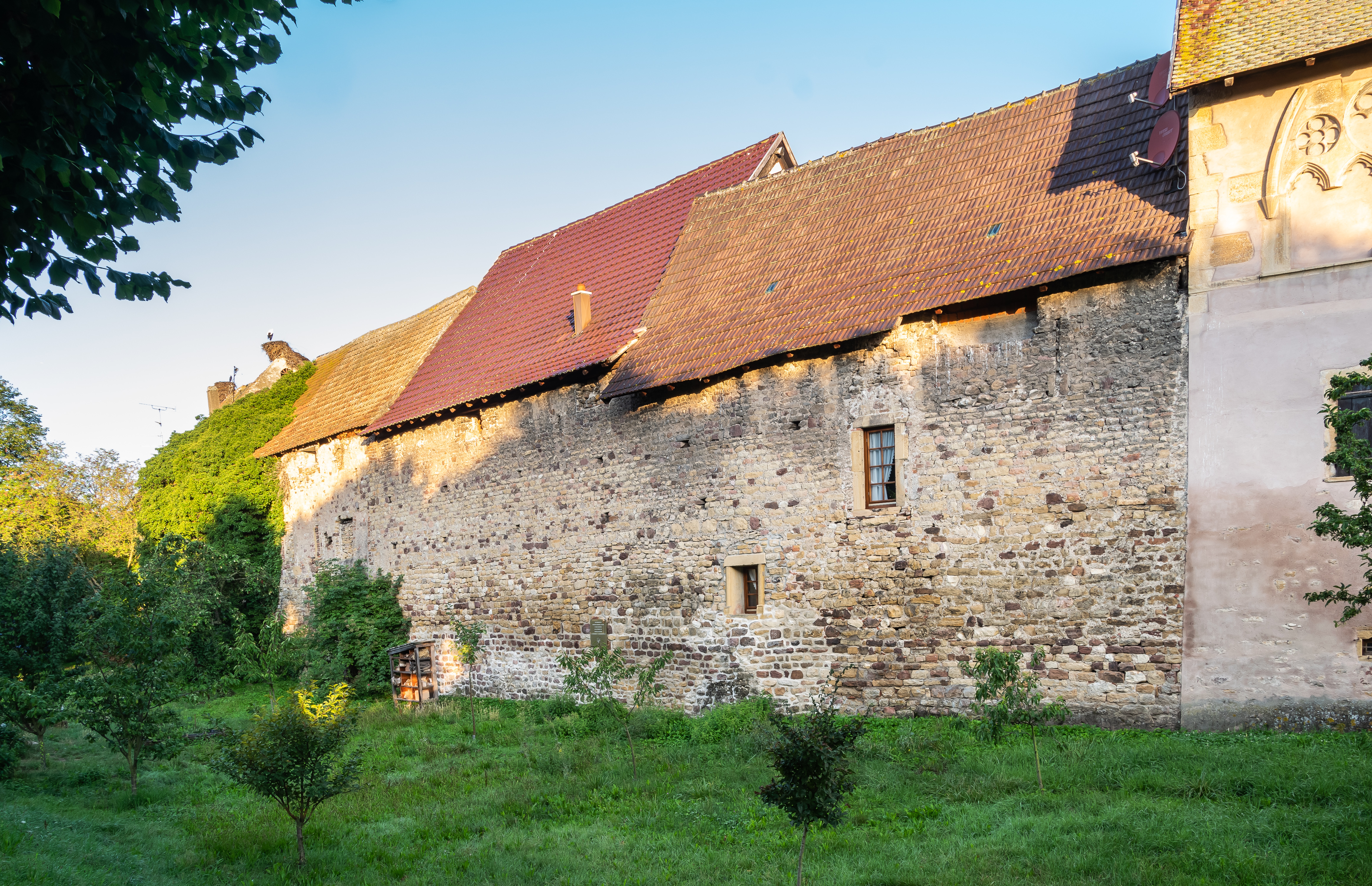 Fortified WallTown defences · 282 yd
 Historic town in Warren,rinnaganHistoric town · 694 yd
 R. C. ChapelChurch · 1020 yd
 Safe HarbourBay · 1023 yd
 Rindown CastleCastle, Anglo-Norman masonry castle · 1059 yd
 Rinnagan PointHeadland · 1190 yd
 RindoonWood · 1471 yd
 St. John's WoodWood · 1598 yd
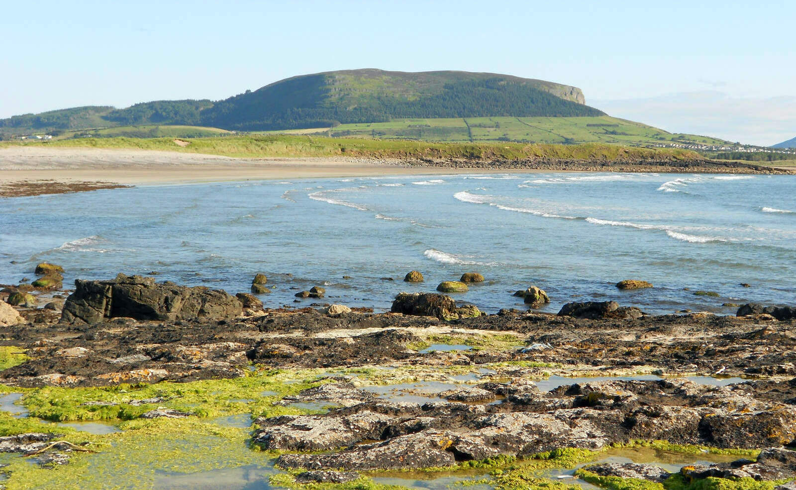 Brearoge IslandsIslet · 1.4 mi
 Horse IslandIslet · 1.5 mi
 Culnagore WoodForest · 2.7 mi