What is recorded here
On slight rise in undulating pasture. Roughly square area (23.5m N-S) enclosed by collapsed stone and earth wall (int. H 0.8m; ext. H 1m) incorporated into surrounding field-boundary system on E and S sides. Gap (Wth. 1.4m) on N side to NNE. Interior level but densely overgrown except for N end; strewn with stones from collapsing walls.
Compiled by: Denis Power
Date of upload: 26 August 2011
See attached ASI aerial photographs ASIAP – taken on 04/03/2006.
The monument record does not grant public access. Check the route and ask the landowner before entering private land.
- What survives
- Recorded monument
Places near here
 Burial ground in RobertstownBurial ground · 672 yd
 IndicatedFairy fort / stone ringfort · 965 yd
 Dysert Castle (in ruins)Castle, tower house · 1305 yd
 Dysert CastleCastle · 1308 yd
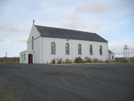 Saint Senan's Catholic Churchchurch/chapel · 1381 yd
 Robertstown Church (in ruins)Church · 1462 yd
 Foynes Flying Boat & Maritime MuseumMuseum · 2.5 mi
 Gammarel PointHeadland · 2.6 mi
 Foynes Island ViewpointViewpoint · 2.7 mi
 Holly IslandIslet · 2.8 mi
 Foynes IslandIsland · 3.1 mi
 Aughinish PointHeadland · 3.2 mi