What is recorded here
In pasture, on gentle sloping hill. Excavated by Sweetman (1981, 193-205). Excavation revealed area enclosed by bank and moat (D c. 2m). Penny of Edward 1 dating to 1279-80 found under S bank gives construction date. Interior: remains of rectangular stone structure (A). Inside, trenches (L 1m - 2m; Wth 0.25m; D 0.25m) running parallel to side walls probably held wooden beams. Also numerous post-holes and eight informal hearths. Another square stone structure (B) outside NE corner of A was interpreted as a refuse collection area or garderobe. Remains of stone gatehouse (C) built against inner face of moat to E; outer face of structure battered. Finds include second penny of Edward 1, Medieval and Post-Medieval pottery, spindle whorls, net weight and pieces of iron. Overgrown.
See McCarthy, M. 2002 'Rigsdale; Medieval moated site', in I. Bennett (ed.), Excavations 2000: summary accounts of archaeological excavations in Ireland, 51-52. Wordwell Ltd, Bray.
The above description is derived from the published 'Archaeological Inventory of County Cork. Volume 2: East and South Cork' (Dublin: Stationery Office, 1994). In certain instances the entries have been revised and updated in the light of recent research.
Date of upload/revision: 14 January 2009
The monument record does not grant public access. Check the route and ask the landowner before entering private land.
- What survives
- Recorded monument
Places near here
 Garryardhouse · 484 yd
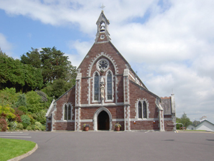 Catholic Church of Sacred HeartChurch · 901 yd
 IndicatedEnclosure · 1325 yd
 Kill Burial Ground (Disused)Burial ground · 1467 yd
 Bi-Centenary of 1798Memorial · 2.2 mi
 Sunday's WellSpring · 2.2 mi
 Rumley's Open FarmHeritage attraction · 2.9 mi
 Corbally Montessori & Early Years' Pre-schoolVisitor information · 3.3 mi
 Ballyhandle Castle (in Ruins)Castle, Anglo-Norman masonry castle · 3.3 mi
 Charlie Hurley MemorialMemorial · 3.7 mi
 Curra WoodForest · 3.7 mi
 Dooneen WoodsWood · 3.8 mi