What is recorded here
14m S of the gatehouse are the sod-covered foundations of a large, rectangular house. Measuring 12m NW-SE x 7m NE-SW externally, its .9m thick walls are built of coursed slabs and survive to an average internal height of .7m. The house has a pair of opposed entrances which measure, on average, .65m wide. These occur towards its NW end, which is raised above average internal ground level.
The above description is derived from A. O'Sullivan and J. Sheehan (compilers), 'The Iveragh peninsula: an archaeological survey of South Kerry'. Cork University Press (1996), no. 449. In certain instances the entries have been revised and updated in the light of recent research.
Date of upload: 28 July 2013
The monument record does not grant public access. Check the route and ask the landowner before entering private land.
- What survives
- Recorded monument
Places near here
 Doon PointPromontory fort, coastal · 82 yd
 Church in Long IslandChurch · 379 yd
 Long IslandIslet · 517 yd
 Horse IslandIslet · 604 yd
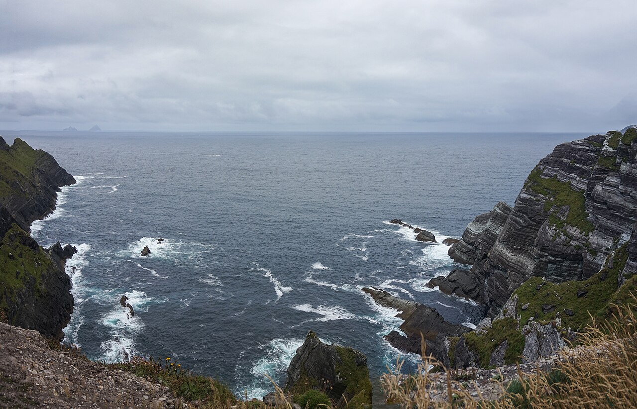 Kerry CliffsHeritage attraction · 1405 yd
 Kerry Cliffs ExperienceHeritage attraction · 1447 yd
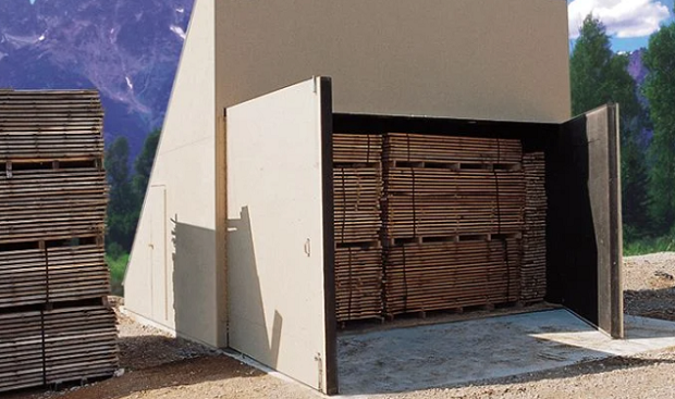 KilnKiln, corn-drying · 1468 yd
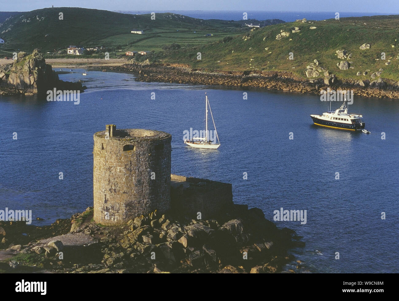 Cromwells Fort, Old Watch Tower (in ruins)Fortification · 1533 yd
 Telegraph Field Valentia IslandMemorial · 1.1 mi
 Sean LochaCliff · 1.6 mi
 Tobairin Holy WellSpring · 1.7 mi
 Tráigh na SplinceBeach / strand · 1.7 mi