What is recorded here
In pasture, on S-facing slope. Roughly square area (36m E-W; 34m N-S) enclosed by earthen bank (int. H 1.8m), stone-faced in parts; shallow external fosse (max. D 0.5m) to S and W. Interior raised on S side to compensate for hillslope. Trackway running E-W crosses N half of interior.
The above description is derived from the published 'Archaeological Inventory of County Cork. Volume 2: East and South Cork' (Dublin: Stationery Office, 1994). In certain instances the entries have been revised and updated in the light of recent research.
Date of upload/revision: 14 January 2009
The monument record does not grant public access. Check the route and ask the landowner before entering private land.
- What survives
- Recorded monument
Places near here
 Mount MaryCountry house · 410 yd
 Millbrook Housemiller's house · 523 yd
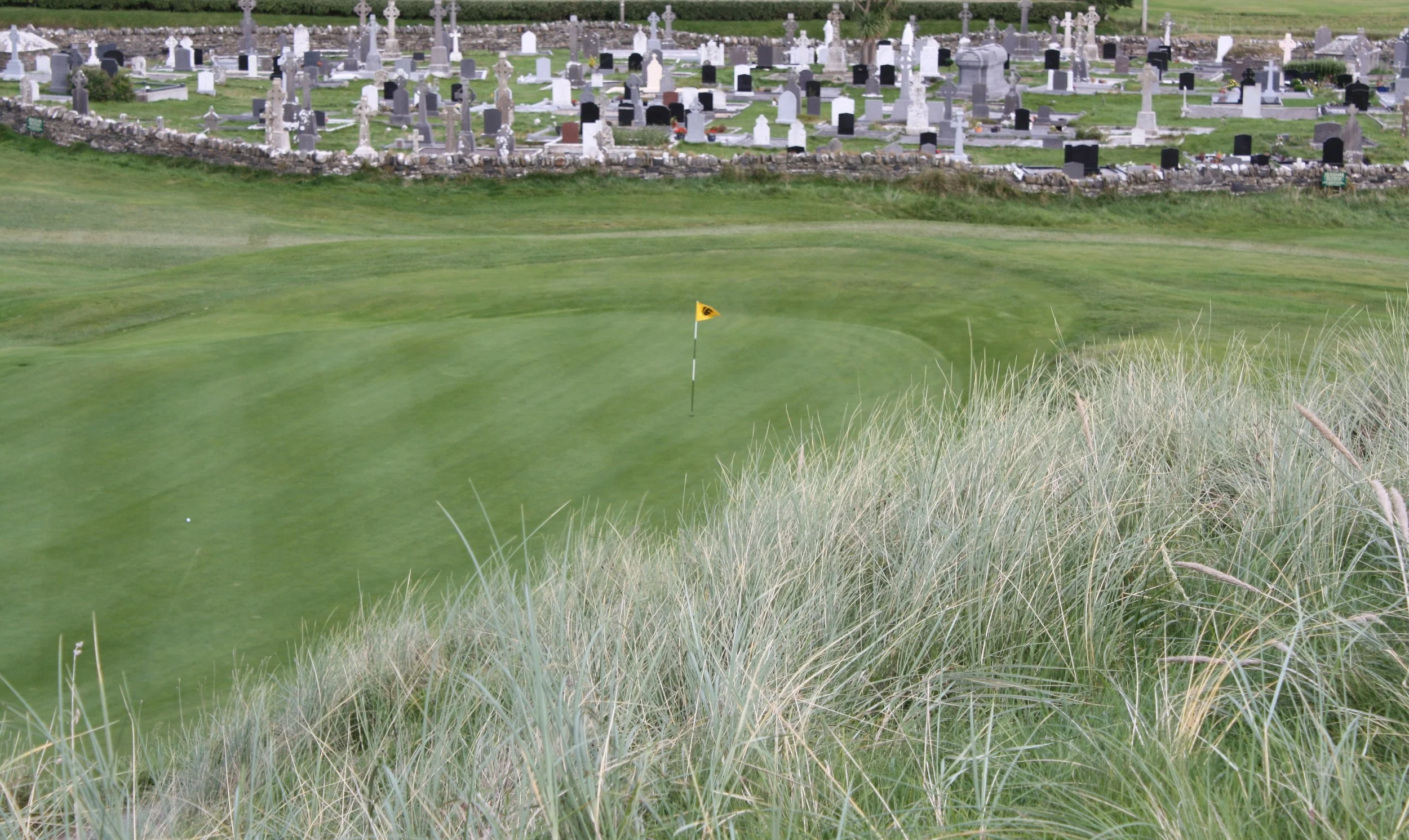 Grave YardGraveyard · 910 yd
 Settlement desertedSettlement deserted, medieval · 1025 yd
 Rumley's Open FarmHeritage attraction · 1.4 mi
 Sunday's WellSpring · 2.3 mi
 Manx2 Flight 7100aviation accident · 2.8 mi
 Corbally Montessori & Early Years' Pre-schoolVisitor information · 2.8 mi
 Graveyard in BallynoraGraveyard · 3.0 mi
 Dinny Barry MemorialMemorial · 3.3 mi
 Curra WoodForest · 3.4 mi
 Ballincollig ViewViewpoint · 3.5 mi