What is recorded here
In pasture, located on a NW–SE ridge, at the break of slope on the NE side. Good views over the surrounding undulating, average grassland, especially to NE towards the banks of the River Moy.
A circular enclosure, smaller in diameter then the average ringfort, is shown on the 1837 OS 6-inch map. At the location a low, gently domed rise (diam. c. 8-10m; H 0.5m) can be discerned. A NW–SE field boundary lies immediately to SW; a perpendicular field boundary shown to SE on the 1930 OS 6-inch map has been removed.
Compiled by: Jane O'Shaughnessy
Date of upload: 12 April 2018
A circular enclosure, possibly a ringfort, dating to the Early Medieval period. Its location suggests a strategic vantage point, potentially for defense or agricultural management.
This remains an important historical record, but the official description says the monument is no longer visible or has been destroyed. The monument record does not grant public access. Check the route and ask the landowner before entering private land.
- What survives
- No visible remains or recorded as destroyed
Places near here
 Rinphilip PointHeadland · 1342 yd
 Belleek WoodsWood · 1.0 mi
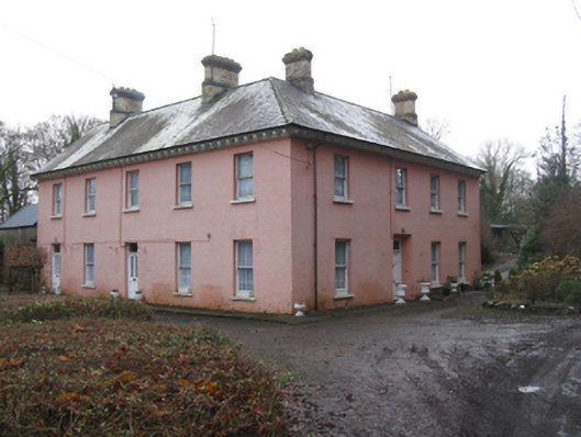 Glen Lodgefarm house · 1.0 mi
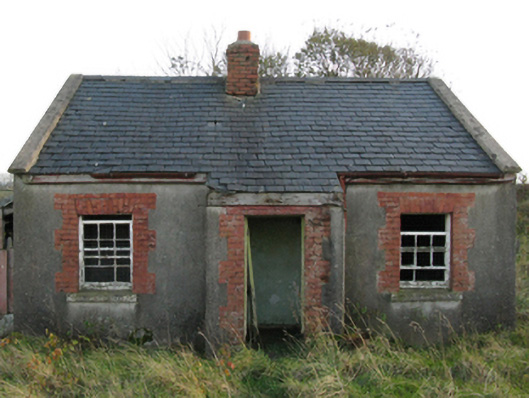 worker's houseworker's house · 1.1 mi
 FloretteWreck · 1.1 mi
 The Marshall Doran CollectionGallery · 1.1 mi
 Castleconnor (in Ruins)Castle, hall-house · 1.3 mi
 Knox Gore MonumentMonument · 1.3 mi
 Enclosure in QuignaleckaEnclosure · 1.5 mi
 HawthornHawthorn · 1.5 mi
 CastleCastle, unclassified · 1.7 mi
 Rosserk AbbeyHeritage attraction · 1.7 mi