What is recorded here
In gently undulating pastureland. Poorly preserved circular enclosure (diam. 23m) defined by a low
grassed-over bank (Wth 3m; H <0.3m). On inspection in November 1986 a field fence overran the bank at N and immediately to its N a roadway ran roughly E-W. On re-inspection in March 2006 it was noted that the N sector was under some dumped soils and gravels that were partly laid over it to create a firm entranceway from the roadway for heavy vehicles using a roadway to its W which accessed a gravel pit further to the S.
Compiled by: Galway Archaeological Survey, UCG
Date of upload: 6 August 2019
The monument record does not grant public access. Check the route and ask the landowner before entering private land.
- What survives
- Recorded monument
Places near here
 IndicatedBawn · 849 yd
 Enclosure in OldcastleEnclosure · 991 yd
 MoteCastle, motte and bailey · 1042 yd
 R.C. ChapelChapel · 1147 yd
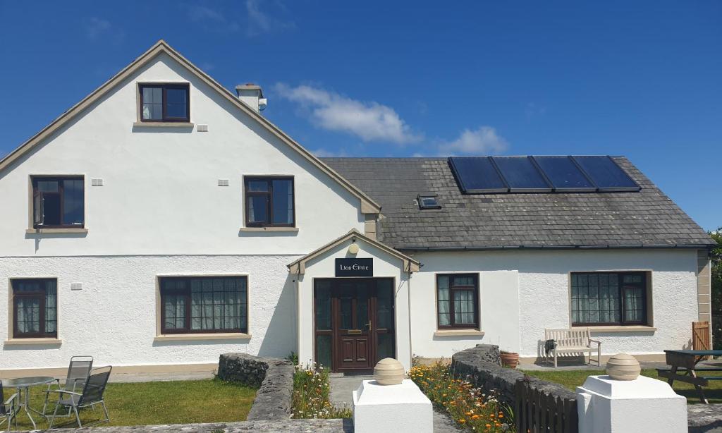 Lios na GalFairy fort / earthen ringfort · 1159 yd
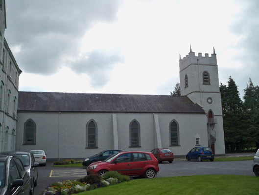 Saint Patrick's Redemptorist Monasterychurch/chapel · 1466 yd
 Moyard WoodWood · 1.1 mi
 Athenry AbbeyHeritage attraction · 3.1 mi
 Athenry CastleHeritage attraction · 3.2 mi
 Horse-chestnutHorse-chestnut · 3.4 mi
 First Battle of Athenrybattle · 3.8 mi
 Barrack IslandIslet · 6.8 mi