What is recorded here
Located in pasture at S end of a narrow, steep-sided N-S ridge, with excellent views in all directions. A rath (MA030-071----) is located c. 250m to ESE.
This possible rath is depicted as a subcircular enclosure (diam. 35-40m) on the 1837 and 1930 OS 6-inch maps. It has been levelled and there are no remains visible at ground level. According to local information, the centre of the enclosure was deeply quarried out, and this would appear to tally with the depiction on the 1930 OS 6-inch map of a roughly circular hollow in the E half of the interior; a shallow, roughly circular surface depression on the ridge top appears to mark the original location.
Compiled by: Jane O’Shaughnessy
Date of upload: 5 June 2018
The monument record does not grant public access. Check the route and ask the landowner before entering private land.
- What survives
- Recorded monument
Places near here
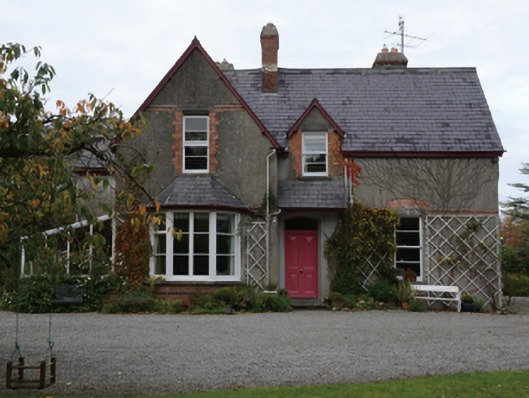 Knocksbarretthouse · 805 yd
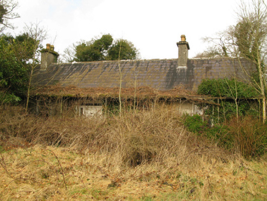 Coolcran Cottagefarm house · 932 yd
 Rucklagh FortFairy fort / earthen ringfort · 1047 yd
 RathmoyleArchaeological place · 1090 yd
 Battle of Ballinabattle · 1.0 mi
 CastleCastle, unclassified · 1.2 miHumbert MonumentMemorial · 1.6 mi
 Belleck CastleCastle, unclassified · 2.1 mi
 The Marshall Doran CollectionGallery · 2.4 mi
 Belleek WoodsWood · 2.5 mi
 FloretteWreck · 2.7 mi
 Gull IslandIslet · 3.1 mi