What is recorded here
Indicated is a fairy fort in County Mayo, Ireland, where the earth still holds the shape of a ring. People may have lived inside its banks before forgetting the name, or perhaps the fort waited patiently for humans to stop arriving. The grass grows thick across the top, hiding the edge but not the circle.
The Archaeological Survey of Ireland (ASI) is in the process of providing information on all monuments on The Historic Environment Viewer (HEV). Currently the information for this record has not been uploaded. To access available information for research purposes please make an appointment in advance with the Archive Unit (open Fridays 10.00 am – 5.00 pm), Department of Housing, Local Government and Heritage, The Custom House, Dublin 1 D01W6XO or email NMarchive@housing.gov.ie.
The monument record does not grant public access. Check the route and ask the landowner before entering private land.
- What survives
- Recorded monument
Places near here
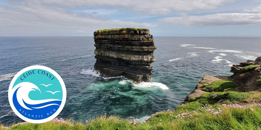 KilleennimheChurch · 1218 yd
 Enclosure in Keelkill (murrisk By.)Enclosure · 1.0 mi
 Enclosure in Carrowmore (murrisk By., Aghagower. Par.)Enclosure · 1.7 mi
 Derrinkee Bridgebridge · 2.4 mi
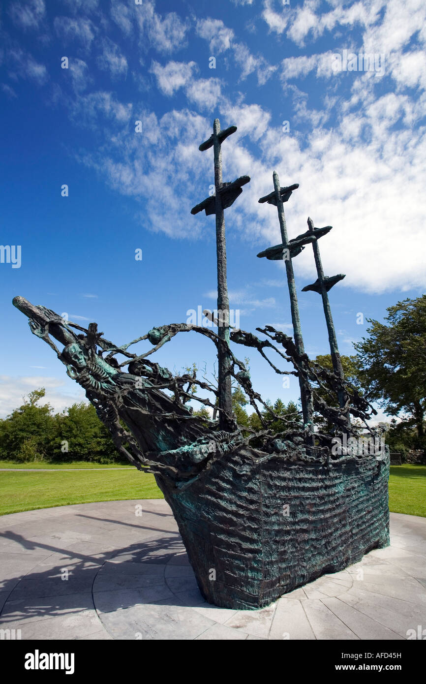 Famine MemorialMemorial · 3.1 mi
 Carney's Cottage 1863Memorial · 3.2 mi
 Brackloon WoodsForest · 3.2 mi
 Crott MountainMountain / peak · 5.5 mi
 Clew Bay Heritage CentreMuseum · 5.6 mi
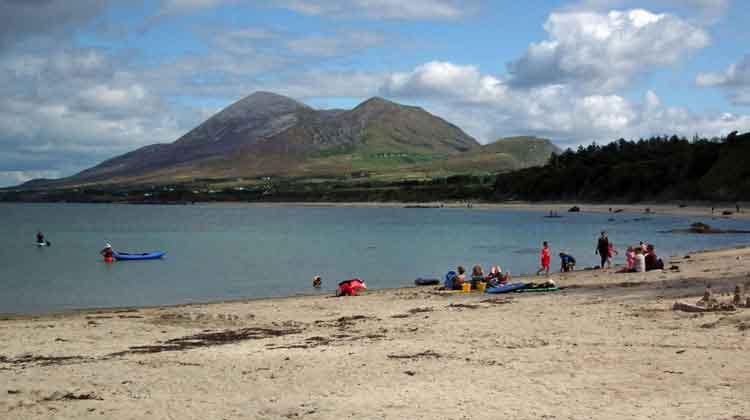 Garvillaun PointHeadland · 5.7 mi
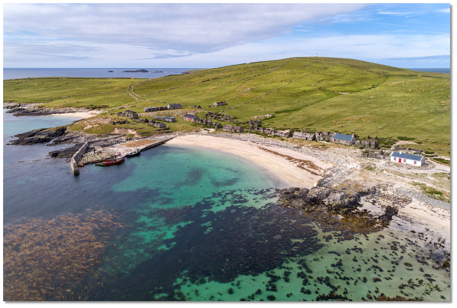 Annagh IslandIslet · 5.8 mi
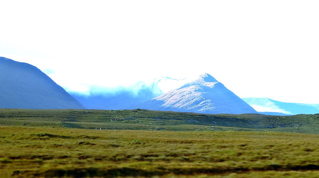 Tawny RowerMountain / peak · 6.1 mi