
What is recorded here
Located within an expanse of blanket bog, close to the SE margins of the bog. Not indicated on the 1838 and 1920 OS 6-inch maps. This rectangular enclosure (c. 37m NE–SW; c. 15m NW–SE) is one of two enclosures visible in an aerial photograph (OS 6 9551 -2; Roll 211, pr. 18) which were listed under a single number in the RMP (1997). The enclosures have been allocated individual numbers; the other enclosure (MA098-024001-) is located c. 65m to NNE. A field inspection in 1997 determined that the enclosures, in which cultivation ridges are evident, are field plots/gardens of relatively recent date.
Compiled by Jane O’Shaughnessy
Date of upload: 16 August 2012
The monument record does not grant public access. Check the route and ask the landowner before entering private land.
- What survives
- Recorded monument
Places near here
 Enclosure in Carrowmore (murrisk By., Aghagower. Par.)Enclosure · 1242 yd
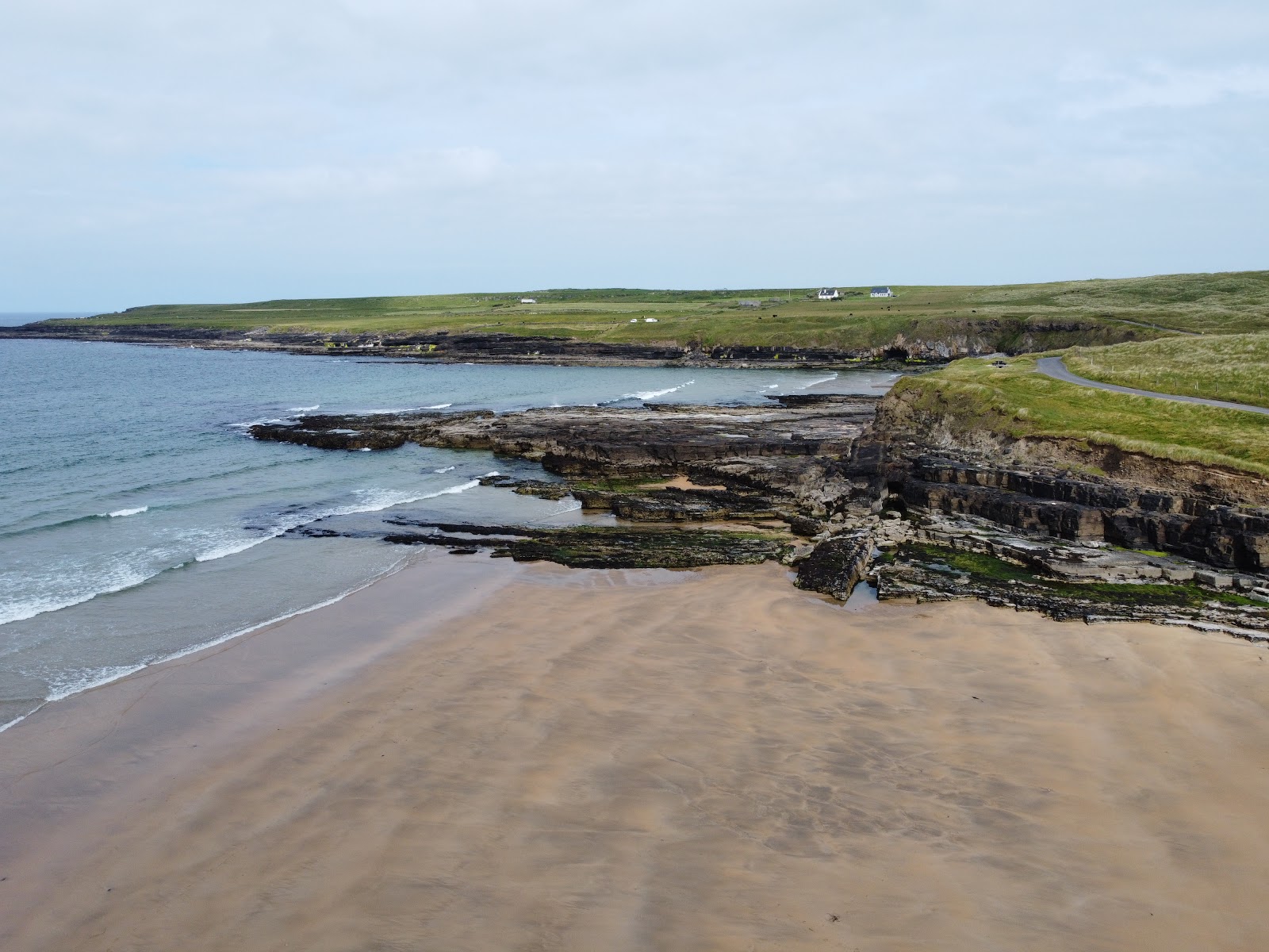 IndicatedEnclosure · 1296 yd
 KilleennimheChurch · 1.7 mi
 Derrinkee Bridgebridge · 2.3 mi
 Brackloon WoodsForest · 2.9 mi
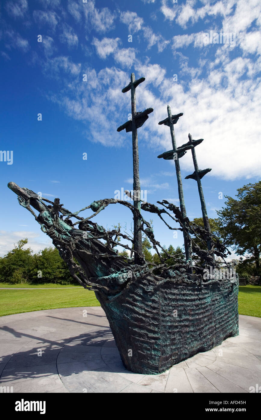 Famine MemorialMemorial · 3.9 mi
 Carney's Cottage 1863Memorial · 4.0 mi
 Crott MountainMountain / peak · 4.8 mi
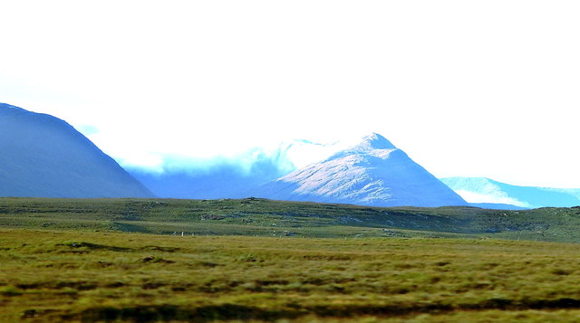 Tawny RowerMountain / peak · 5.2 mi
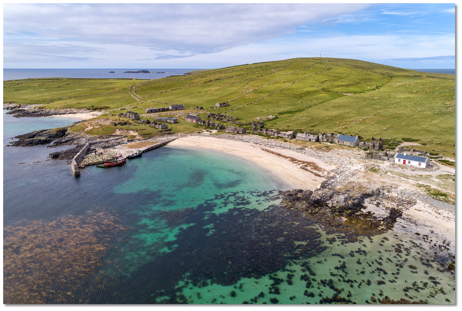 Annagh IslandIslet · 5.5 mi
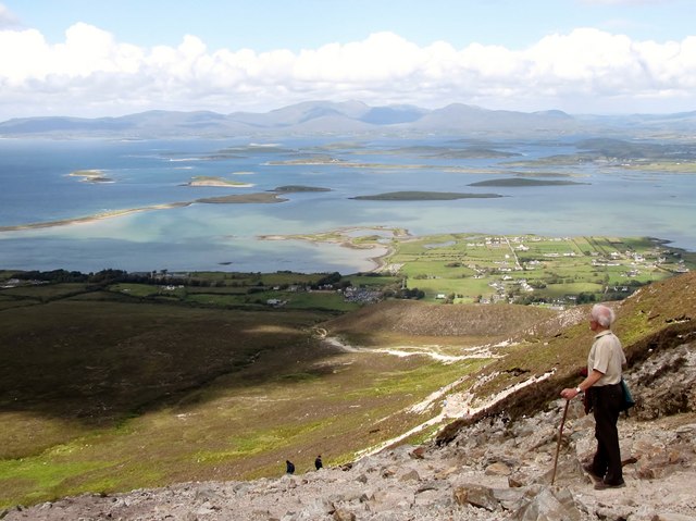 Croagh Patrick Pilgrim TrailWalking route · 5.6 mi
 CastleCastle, unclassified · 6.0 mi
Other information
Photo: Credit not shown in the picture search · Rights wording not checked; contact us if this picture should be removed