What is recorded here
Located on the SE-facing slope of a long, high NE-SW drumlin ridge, and c. 160m NW of the site of Rahans House, a large farm complex depicted on the 1834 and 1907 editions of the OS 6-inch map but no longer extant. The feature is depicted as a shapeless copse on the 1834 and as a small circular enclosure on the 1907 editions of the map. This is a circular grass-covered area (diam. 23m N-S; 23m E-W) defined by a low earthen bank (at S: Wth of base 3.7m; int. H 0.1m; ext. H 1.9m) with some bushes and trees. There is no visible fosse or recognisable entrance. This could be a rath that was adapted as a tree ring.
Date of upload: 14 April 2011
A local fairy fort (ringfort/rath); wider significance not recorded.
The monument record does not grant public access. Check the route and ask the landowner before entering private land.
- What survives
- Recorded monument
Places near here
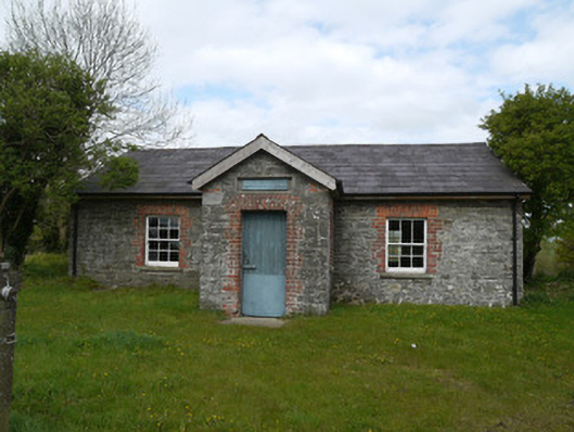 Drumlusty National Schoolschool · 970 yd
 Man-made underground passage in RossdreenaghMan-made underground passage · 1037 yd
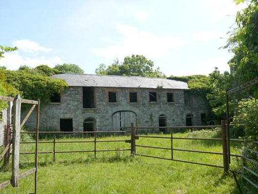 Capraghoutbuilding · 1331 yd
 Man-made underground passage in Kiltybegs (farney By)Man-made underground passage · 1.0 mi
 Mannan Castle (in ruins)Castle, Anglo-Norman masonry castle · 1.8 mi
 Horse-chestnutHorse-chestnut · 3.0 mi
 TobernagalliaghSpring · 3.2 mi
 European BeechEuropean Beech · 3.5 mi
 KnockreaghMountain / peak · 4.7 mi
 Flat cemetery in AnnaheanFlat cemetery · 5.0 mi
 MoatCastle, motte · 5.7 mi
 Gully IslandIslet · 6.7 mi