What is recorded here
Marked as a sand pit on the 1st edition of the OS 6-inch map and named 'Gravel Pit (Disused) on the OS 25-inch plan. As it is of post-AD 1700 date it does not come within the remit of the Archaeological Survey of Ireland. Not visited.
Compiled by: Olive Alcock
Date of upload: 11 August 2014
The monument record does not grant public access. Check the route and ask the landowner before entering private land.
- What survives
- Recorded monument
Places near here
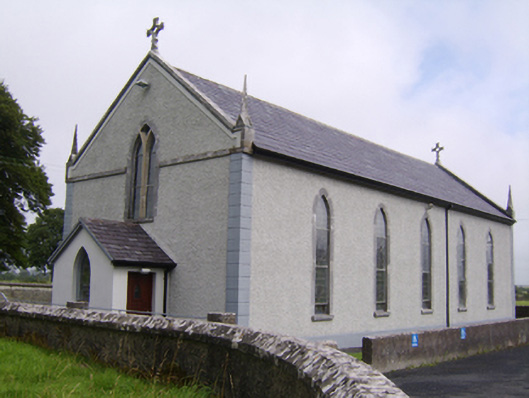 Saint Jarlath's Catholic Churchchurch/chapel · 716 yd
 Enclosure in SrahdooEnclosure · 746 yd
 Old R.C. Chapel (in ruins)Chapel · 817 yd
 Laghtsidura or Soldiers GraveLeacht cuimhne · 848 yd
 Ballynamantragh CastleCastle, unclassified · 1.2 mi
 Kilcooly Castle (in ruins)Castle, tower house · 1.3 mi
 Dartfield Horse MuseumHeritage attraction · 2.5 mi
 Stone Islands SouthIslet · 3.0 mi
 Long PointHeadland · 3.1 mi
 Island McCooIslet · 3.3 mi
 Turoe StoneHeritage attraction · 5.3 mi
 Quarryhill WoodWood · 6.1 mi