What is recorded here
The following description is derived from the published 'Archaeological Inventory of County Meath' (Dublin: Stationery Office, 1987). In certain instances the entries have been revised and updated in the light of recent research.
Date of upload/revision: 10 July 2007
Marked on Down Survey maps but river changed course since. Fragments of two arches survive.
The monument record does not grant public access. Check the route and ask the landowner before entering private land.
- What survives
- Recorded monument
Places near here
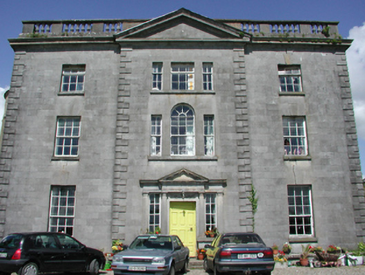 Duleek Housecountry house · 195 yd
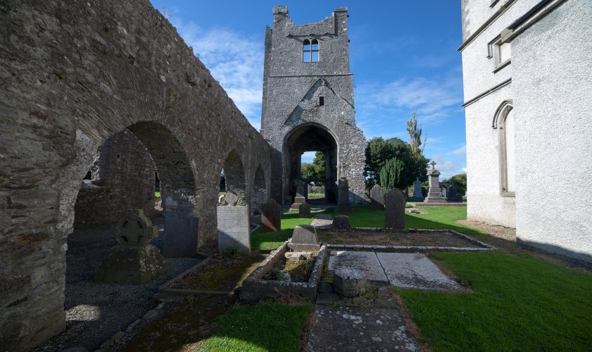 AbbeyReligious house, Augustinian canons · 245 yd
 CrossCross, Wayside cross · 356 yd
 Common LimeCommon Lime · 490 yd
 Enclosure in PriorylandEnclosure · 623 yd
 CastleCastle, motte · 709 yd
 Athcarne CastleCastle, tower house · 2.2 mi
 Boyne Currach CentreHeritage attraction · 3.1 mi
 Brú na Bóinne Visitors CentreVisitor information · 3.2 mi
 Brú na Bóinne Visitor Centre AccessHeritage attraction · 3.2 mi
 Glenmore ForestWood · 3.6 mi
 Newgrange Business ParkMemorial · 4.0 mi