
What is recorded here
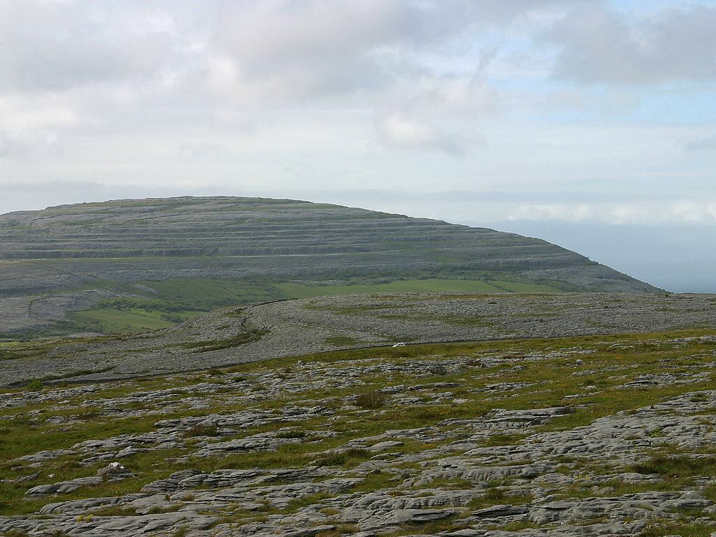
On a narrow terrace of a moderately steep E-facing slope on partially improved pasture, at the N end of a field system (CL006-036001-). Indicated on the 1915 ed. of the OS 6-inch map. A subrectangular enclosure (int. dims. 30m E–W; 29m N–S) defined by a single drystone wall along S, W and N and a thick double wall along E, which is covered in clearance stones but may overlie an older wall line. The site is abutted at S by a small subrectangular field of similar dimensions and defined by single drystone-built walls.
Compiled by: Mary Tunney and Ros Ó Maoldúin
Date of upload: 12 May 2021
The monument record does not grant public access. Check the route and ask the landowner before entering private land.
- What survives
- Recorded monument
Places near here
 IndicatedFairy fort / stone ringfort · 304 yd
 Enclosure in Poulaphuca (oughtmama Ed)Enclosure · 593 yd
 Castle Mael (in ruins)Castle, unclassified · 1.6 mi
 Turlough CastleArchaeological place · 1.7 mi
 PoulnabroneMemorial · 1.7 mi
 Templecronan (in ruins)Church · 2.2 mi
 Gleninshing portal tombHeritage attraction · 2.3 mi
 Gleninshing tombHeritage attraction · 2.4 mi
 Aillwee CaveCave · 2.4 mi
 Aillwee Cave Visitor Centreheritage centre/interpretative centre · 2.4 mi
 The Portal TombVisitor information · 2.5 mi
 Poulnabrone - Burren GeositeVisitor information · 2.5 mi
Other information
Photo: Credit not shown in the picture search · Rights wording not checked; contact us if this picture should be removed