What is recorded here
Atop rise, with extensive view all round. Circular area (29.5m N-S; 31m E-W), enclosed by earthen bank (H 1.8m), gap in the NW. Stone field fence overlies bank SE to SW. Trees in interior.
The above description has been derived from D. Lavelle (compiler), An Archaeological Survey of Ballinrobe and District including Lough Mask and Lough Carra. Lough Mask and Lough Carra Tourist Development Association (1994), No. 199.
Date of upload: 22 January 2013
The monument record does not grant public access. Check the route and ask the landowner before entering private land.
- What survives
- Recorded monument
Places near here
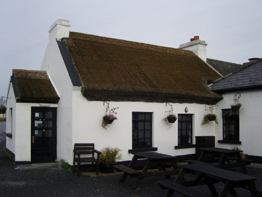 The Village Innfarm house · 428 yd
 Church (ruin)Church · 877 yd
 CastleCastle, unclassified · 1336 yd
 Stony IslandIslet · 1566 yd
 Ballycally IslandIslet · 1.1 mi
 TobercolumbkilleHoly well · 1.5 mi
 Doon WoodWood · 1.5 mi
 Castle CarraCastle · 1.6 mi
 Castlepark WoodWood · 1.7 mi
 Sweathouse in Derrymore (kilmaine By.)Sweathouse · 1.7 mi
 Kiltoom PointHeadland · 2.0 mi
 Moore Hall Forest TrailWalking route · 2.2 mi