
What is recorded here
In pasture, on a level area with a break of slope at W−NW. A circular embanked enclosure (diam. 25-30m) is shown on the 1838 OS 6-inch map; it is not shown on later map editions. There is no visible trace at ground level. A house now partly overlies the location.
Compiled by: Jane O'Shaughnessy
Date of upload: 1 December 2022
This remains an important historical record, but the official description says the monument is no longer visible or has been destroyed. The monument record does not grant public access. Check the route and ask the landowner before entering private land.
- What survives
- No visible remains or recorded as destroyed
Places near here
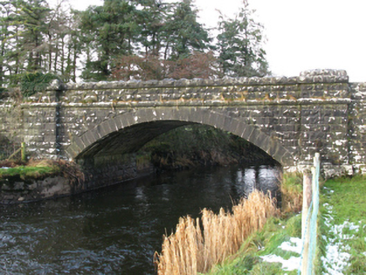 bridgebridge · 691 yd
 Tagheen Church (in ruins)Church · 892 yd
 Castle (ruin)Castle, unclassified · 1250 yd
 LisrobertEnclosure · 1.5 mi
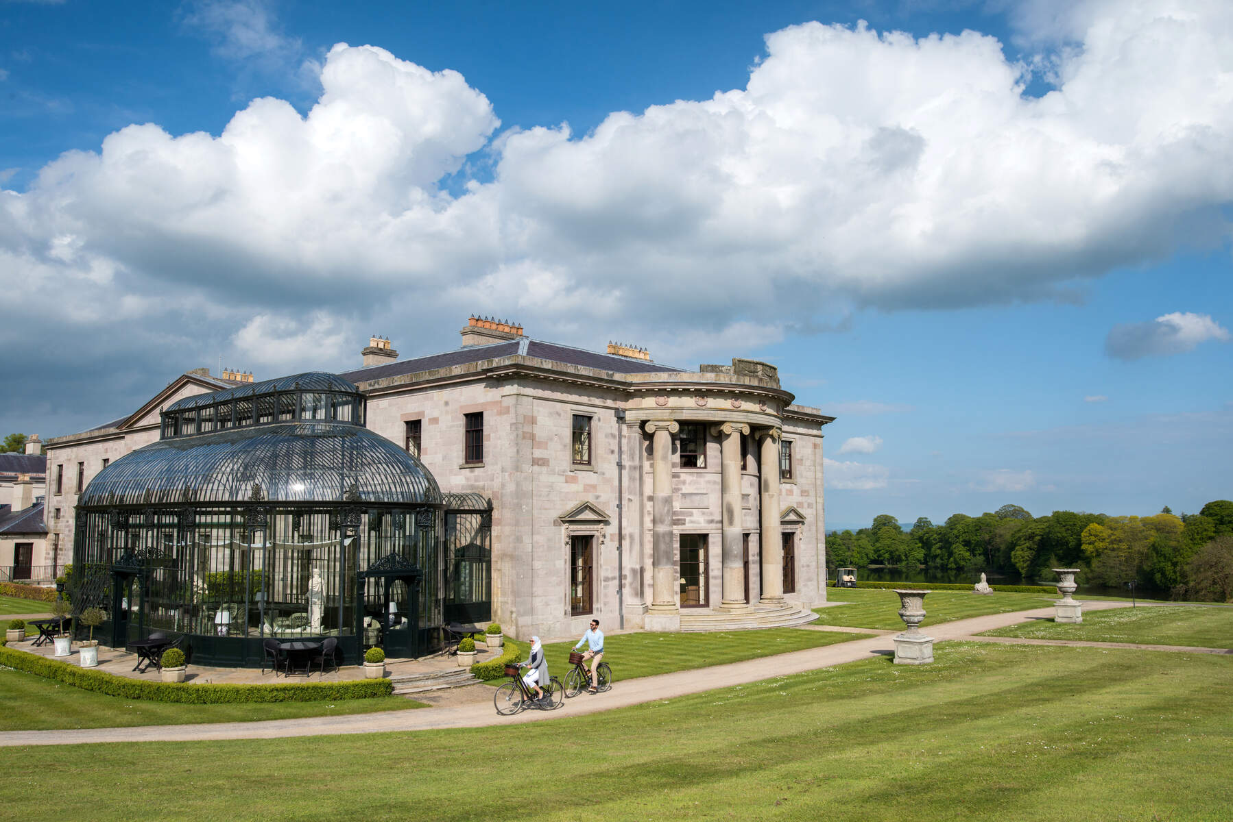 Enclosure in Lehinch DemesneEnclosure · 1.5 mi
 Ahena CastleCastle · 1.7 mi
 Geoffrey's WoodForest · 3.6 mi
 Land of the GiantsHeritage attraction · 4.0 mi
 SycamoreSycamore · 4.0 mi
 Carrigeen ShangormanIslet · 9.6 mi
 Long IslandIslet · 10 mi
 Quiet Man MuseumMuseum · 13 mi
Other information
Photo: Credit not shown in the picture search · Rights wording not checked; contact us if this picture should be removed