What is recorded here
Rectangular graveyard (map dims. c. 120m E-W; c. 40m N-S) with church (LH006-014001-) at NW end. (CLAJ 1929, 60; CLAJ 1941, 23)
Compiled by: Claire Breen
DAte of upload: 22 November 2011
A local ancient tomb; wider significance not recorded.
The monument record does not grant public access. Check the route and ask the landowner before entering private land.
- What survives
- Recorded monument
Places near here
 Philipstown ChurchChurch · 35 yd
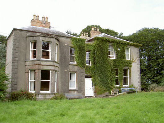 Philipstown Househouse · 299 yd
 Enclosure in RathmoreEnclosure · 1059 yd
 Promontory fortPromontory fort, inland · 1152 yd
 Bawn in Shortstone EastBawn · 1551 yd
 CastleCastle, unclassified · 1700 yd
 Sky HillMountain / peak · 2.1 mi
 Ballsmill Amenity LandPicnic place · 2.6 mi
 Dundalk CentralHeritage attraction · 3.5 mi
 Photo GalleryHeritage attraction · 3.5 mi
 Maid of ErinMemorial · 3.8 mi
 Bombing 1975Memorial · 3.8 mi