What is recorded here
At the N end of a low rise in pasture. Depicted as a circular enclosure with the designation 'Fort' on the 1837 ed. of the OS 6-inch map. A report in 1976 (SMR file) indicates that this raised subcircular area (c. 42m NNW-SSE; c. 38m ENE-WSW) was enclosed by a low bank of earth and stone and a wide, shallow, external fosse. It is defined by a scarp (H 0.7-1.1m) A depression (Wth 2m) at SSE may mark the original entrance.
Compiled by: Patrick F. O'Donovan
Date of upload: 26 August 2011
The monument record does not grant public access. Check the route and ask the landowner before entering private land.
- What survives
- Recorded monument
Places near here
 Goldsmith Birthplace, PallasVisitor information · 324 yd
 Newcastle WoodsForest · 1105 yd
 Target WoodWood · 1178 yd
 Enclosure in RathEnclosure · 1184 yd
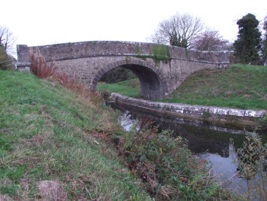 Guy's Bridgebridge · 1255 yd
 Fulacht fia in NewcastleFulacht fia · 1260 yd
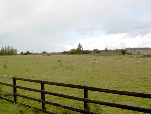 Newcastlewalled garden · 1415 yd
 Craft WorkshopHeritage attraction · 1496 yd
 Guest ServicesVisitor information · 1503 yd
 Ballymulvey Ho.Castle, unclassified · 1.6 mi
 Not locatedCastle, unclassified · 2.3 mi
 Common LimeCommon Lime · 2.3 mi