What is recorded here
Curving field boundaries around Oughtdarra church (CL004-057001-) on the OS 25-inch and 1915 OS 6-inch maps may indicate a former ecclesiastical enclosure. A portion from SSE to N (chord c. 63m) some 33m W of the church is still extant as a boundary and is visible on Digital Globe. Cunningham (1980, 16) also described Oughtdarra church (CL004-057001-) as sited within a seven-acre walled enclosure, part of which was locally called the Orchard. That enclosure (c. 237m E-W; c. 123m N-S) is depicted on the OS 1840 map and may represent later boundaries around the site.
Compiled by: Mary Tunney
Date of upload: 10 October 2022
The monument record does not grant public access. Check the route and ask the landowner before entering private land.
- What survives
- Recorded monument
Places near here
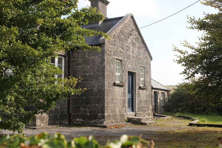 Enclosure in OughtdarraEnclosure · 466 yd
 IndicatedEnclosure · 511 yd
 OughtdarraCliff · 1272 yd
 Ballinalacken CastleCastle · 1588 yd
 BallyryanCliff · 1638 yd
 ( Poulomega ? )Cave · 1680 yd
 The BurrenHeritage attraction · 1.0 mi
 Doolin Cave Visitor CentreHeritage attraction · 1.3 mi
 Doolin CaveCave · 1.3 mi
 Crumlin Church (in Ruins)Church · 1.5 mi
 CahernagrianFairy fort / stone ringfort · 768 yd
 Enclosure in Ballynalackan (cloghaun Ed)Enclosure · 899 yd